"Compare Neighbordhoods" feature is not available in the archived version.
Shingle Creek
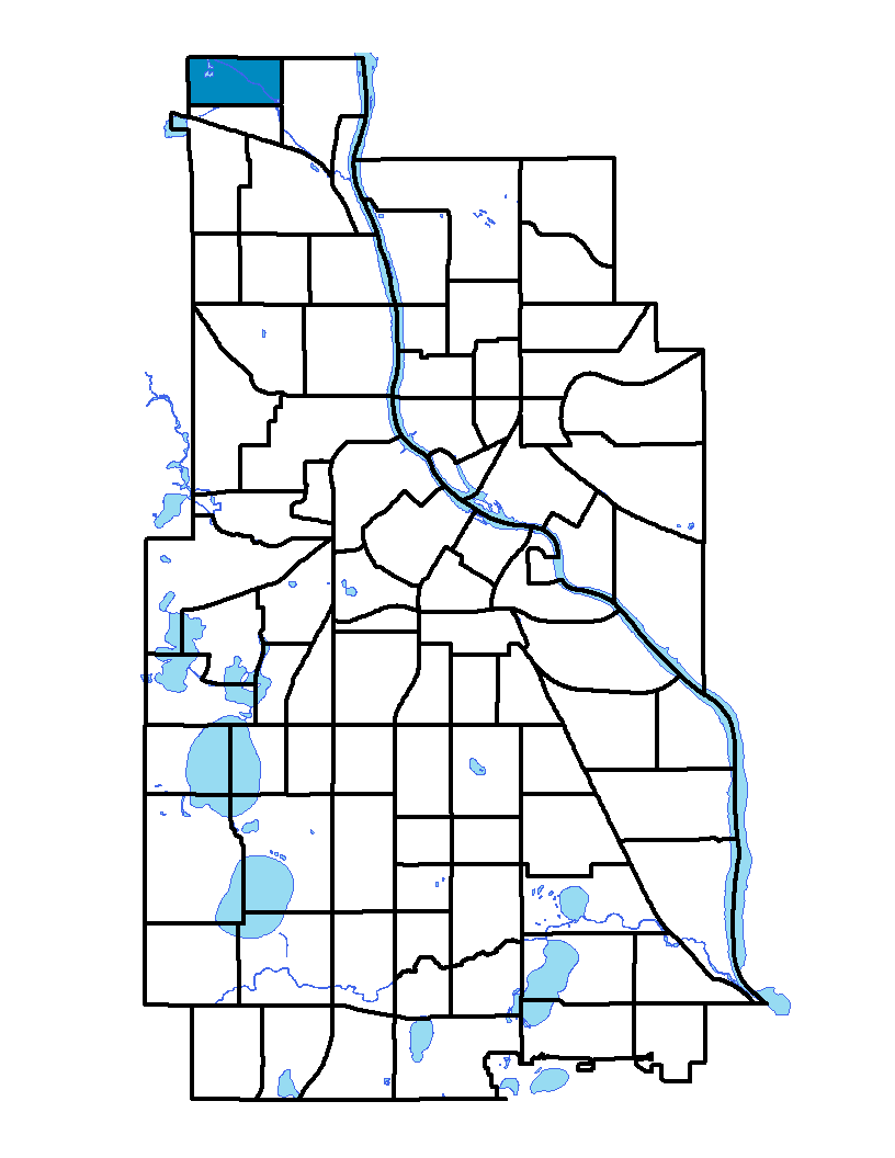
Shingle Creek, in the city's far northwest corner, is bound on the north by 53 rd Avenue North, on the east by Humboldt Avenue North, on the south by 49 th Avenue North and on the west by Xerxes Avenue North. The neighborhood's northern and western border is also the City limits. Shingle Creek runs north-south through the eastern half of the neighborhood. The creek flows into the Mississippi River in north Minneapolis and is surrounded by parkland. In 1852 the first shingle mill in Hennepin County was built near the mouth of the creek, hence the name of Shingle Creek.
To learn more about the neighborhood association visit: www.shinglecreekmpls.org
Indicator Details
| Indicators |
Primary Domain |
Indicator Value | Rank | Tier |
|---|---|---|---|---|
| Transit Accessibility | Transportation | 218.8 | 65 | Bottom |
| Commute Mode Share | Transportation | 12.6% | 84 | Bottom |
| Household Transportation Costs | Transportation | 15.5% | 25 | Top |
| Pedestrian Connectivity | Transportation | 180.4 | 14 | Top |
| Residential Mobility | Social Cohesion | 83.0% | 31 | Middle |
| Voter Participation | Social Cohesion | 18.1% | 65 | Bottom |
| Walkability | Neighborhood Characteristics | 27 | 81 | Bottom |
| Offsite Alcohol Outlets | Neighborhood Characteristics | 1 | 6 | Top |
| Food Desert | Neighborhood Characteristics | 100.0% | 31 | Middle |
| Tree Cover | Natural Areas | 34.8% | 13 | Top |
| Access to Parks and Open Space | Natural Areas | 14.7% | 17 | Top |
| Violent Crime | Health Systems and Public Safety | 30.4 | 17 | Top |
| Chronic School Absence | Health Systems and Public Safety | 52.8% | 31 | Middle |
| Low Birth Weight | Health Systems and Public Safety | 12.2% | 71 | Bottom |
| Motor Vehicle Collisions | Health Systems and Public Safety | 1.6 | 14 | Top |
| Preventable Hospitalizations | Health Systems and Public Safety | 4 | 58 | Middle |
| Vacancy Rates | Housing | -% | - | Data N/A |
| Age of Housing | Housing | 89.2% | 51 | Middle |
| Blood Lead Levels in Children | Housing | 1.4% | 12 | Top |
| Excessive Housing Cost Burden | Housing | 34.3% | 57 | Middle |
| Public Assisted Households | Employment Opportunities | 38.3% | 65 | Bottom |
| Employment Rate | Employment Opportunities | 62.4% | 64 | Bottom |
| Long-Term Unemployment | Employment Opportunities | 7.8% | 65 | Bottom |
| Travel Time to Work | Employment Opportunities | 22.4 minutes | 46 | Middle |
| Residential Proximity to Traffic | Environmental Hazards | 0.0% | 1 | Top |
| Proximity to Brownfield Sites | Environmental Hazards | 0.0% | 1 | Top |
| School Proximity to Traffic | Environmental Hazards | 0.0% | 1 | Top |
| Proximity to Superfund Sites | Environmental Hazards | 8.8% | 40 | Middle |
| Toxic Releases from Facilities | Environmental Hazards | 84.2% | 75 | Bottom |
| Reading Proficiency | Educational Opportunities | -% | - | Data N/A |
| Adult Educational Attainment | Educational Opportunities | 79.8% | 69 | Bottom |
| High School Graduation Rate | Educational Opportunities | -% | - | Data N/A |
| School Readiness Scores | Educational Opportunities | -% | - | Data N/A |
| Preschool Enrollment | Educational Opportunities | 61.8% | 26 | Top |
| Business Retention | Economic Health | -0.5% | 61 | Bottom |
| Access to Mainstream Financial Services | Economic Health | 29.2% | 53 | Middle |
| Local Business Vitality | Economic Health | 43.4% | 80 | Bottom |