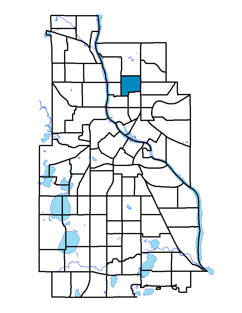
The Holland neighborhood is located in the Northeast community of Minneapolis. The neighborhood's northern extent is 27th Avenue NE and the southern boundary is along 17th and 19th avenues NE. Central Avenue NE is the eastern extent and University Avenue NE is the western boundary. The neighborhood and its elementary school are named after Josiah G. Holland, an American educator and editor born in 1819 in Massachusetts. He was well known for Timothy Titcomb's Letters, a column he wrote for a newspaper in Springfield, Massachusetts. The Holland neighborhood is predominately residential, and more than 75 percent of the homes were built before 1920. Holland does have some commercial and retail areas, mainly along Central Avenue. The neighborhood has other amenities including Jackson Square Park, Edison Senior High School and a Minneapolis public library branch. The neighborhood was a popular destination for Eastern Europeans emigrating at the beginning of the 20th century.
To learn more about the neighborhood association visit: www.hnia.org
Indicator Details
|
Indicators |
Primary Domain | Indicator Value | Rank | Tier |
|---|---|---|---|---|
| Walkability | Neighborhood Characteristics | 68 | 31 | Middle |
| Voter Participation | Social Cohesion | 18.2% | 64 | Bottom |
| Violent Crime | Health Systems and Public Safety | 43.3 | 37 | Middle |
| Vacancy Rates | Housing | 10.3% | 59 | Bottom |
| Tree Cover | Natural Areas | 23.7% | 83 | Bottom |
| Travel Time to Work | Employment Opportunities | 23.5 minutes | 67 | Bottom |
| Transit Accessibility | Transportation | 247.4 | 58 | Middle |
| Toxic Releases from Facilities | Environmental Hazards | 43.2% | 63 | Bottom |
| School Readiness Scores | Educational Opportunities | -% | - | Data N/A |
| School Proximity to Traffic | Environmental Hazards | 0.0% | 1 | Top |
| Residential Proximity to Traffic | Environmental Hazards | 0.0% | 1 | Top |
| Residential Mobility | Social Cohesion | 76.1% | 52 | Middle |
| Reading Proficiency | Educational Opportunities | -% | - | Data N/A |
| Public Assisted Households | Employment Opportunities | 32.4% | 61 | Bottom |
| Proximity to Superfund Sites | Environmental Hazards | 42.0% | 59 | Bottom |
| Proximity to Brownfield Sites | Environmental Hazards | 3.7% | 38 | Middle |
| Preventable Hospitalizations | Health Systems and Public Safety | 2 | 35 | Middle |
| Preschool Enrollment | Educational Opportunities | 28.2% | 70 | Bottom |
| Pedestrian Connectivity | Transportation | 167.7 | 19 | Top |
| Offsite Alcohol Outlets | Neighborhood Characteristics | 1 | 6 | Top |
| Motor Vehicle Collisions | Health Systems and Public Safety | 4.4 | 33 | Middle |
| Low Birth Weight | Health Systems and Public Safety | 6.2% | 33 | Middle |
| Long-Term Unemployment | Employment Opportunities | 13.2% | 85 | Bottom |
| Local Business Vitality | Economic Health | 57.9% | 31 | Middle |
| Household Transportation Costs | Transportation | 16.2% | 34 | Middle |
| High School Graduation Rate | Educational Opportunities | 56.0% | 5 | Top |
| Food Desert | Neighborhood Characteristics | 50.0% | 11 | Top |
| Excessive Housing Cost Burden | Housing | 45.4% | 75 | Bottom |
| Employment Rate | Employment Opportunities | 64.5% | 61 | Bottom |
| Commute Mode Share | Transportation | 36.1% | 26 | Top |
| Chronic School Absence | Health Systems and Public Safety | 59.9% | 36 | Middle |
| Business Retention | Economic Health | 7.0% | 4 | Top |
| Blood Lead Levels in Children | Housing | 3.8% | 40 | Middle |
| Age of Housing | Housing | 77.6% | 25 | Top |
| Adult Educational Attainment | Educational Opportunities | 74.6% | 76 | Bottom |
| Access to Parks and Open Space | Natural Areas | 0.8% | 78 | Bottom |
| Access to Mainstream Financial Services | Economic Health | 35.3% | 66 | Bottom |