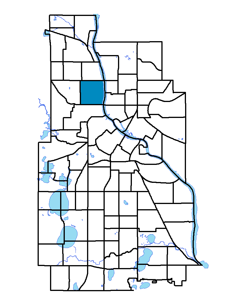
Hawthorne is located in north Minneapolis in the city's Near North community. The neighborhood is bounded by the Mississippi River on the east and Emerson Avenue on the west; Broadway Avenue is the southern extent and Lowry Avenue is the neighborhood's northern boundary. The Hawthorne neighborhood is named after the American writer Nathaniel Hawthorne, born in 1804. Hawthorne is mostly a residential neighborhood with single-family houses. Hawthorne Gateway is located in Farview Park. The work of Norman Andersen and Katherine Schaefer, this artwork's shape is based on a tower that used to stand on the park's hill. Large copper animals are perched atop the tower's columns.
To learn more about the neighborhood association visit: www.hawthorneneighborhoodcouncil.org
Indicator Details
|
Indicators |
Primary Domain | Indicator Value | Rank | Tier |
|---|---|---|---|---|
| Access to Mainstream Financial Services | Economic Health | 49.2% | 80 | Bottom |
| Access to Parks and Open Space | Natural Areas | 4.7% | 48 | Middle |
| Adult Educational Attainment | Educational Opportunities | 73.0% | 77 | Bottom |
| Age of Housing | Housing | 75.9% | 19 | Top |
| Blood Lead Levels in Children | Housing | 12.9% | 78 | Bottom |
| Business Retention | Economic Health | 0.6% | 55 | Middle |
| Chronic School Absence | Health Systems and Public Safety | 44.1% | 25 | Top |
| Commute Mode Share | Transportation | 34.1% | 32 | Middle |
| Employment Rate | Employment Opportunities | 44.1% | 83 | Bottom |
| Excessive Housing Cost Burden | Housing | 53.8% | 85 | Bottom |
| Food Desert | Neighborhood Characteristics | 25.0% | 1 | Top |
| High School Graduation Rate | Educational Opportunities | -% | - | Data N/A |
| Household Transportation Costs | Transportation | 17.0% | 44 | Middle |
| Local Business Vitality | Economic Health | 46.3% | 65 | Bottom |
| Long-Term Unemployment | Employment Opportunities | 8.1% | 67 | Bottom |
| Low Birth Weight | Health Systems and Public Safety | 13.9% | 77 | Bottom |
| Motor Vehicle Collisions | Health Systems and Public Safety | 22.2 | 69 | Bottom |
| Offsite Alcohol Outlets | Neighborhood Characteristics | 1.8 | 58 | Middle |
| Pedestrian Connectivity | Transportation | 131.4 | 43 | Middle |
| Preschool Enrollment | Educational Opportunities | 23.0% | 77 | Bottom |
| Preventable Hospitalizations | Health Systems and Public Safety | 15.6 | 82 | Bottom |
| Proximity to Brownfield Sites | Environmental Hazards | 18.6% | 68 | Bottom |
| Proximity to Superfund Sites | Environmental Hazards | 87.6% | 82 | Bottom |
| Public Assisted Households | Employment Opportunities | 100.0% | 87 | Bottom |
| Reading Proficiency | Educational Opportunities | 17.6% | 25 | Top |
| Residential Mobility | Social Cohesion | 75.6% | 55 | Middle |
| Residential Proximity to Traffic | Environmental Hazards | 22.1% | 59 | Bottom |
| School Proximity to Traffic | Environmental Hazards | 0.0% | 1 | Top |
| School Readiness Scores | Educational Opportunities | -% | - | Data N/A |
| Toxic Releases from Facilities | Environmental Hazards | 76.1% | 73 | Bottom |
| Transit Accessibility | Transportation | 299.7 | 43 | Middle |
| Travel Time to Work | Employment Opportunities | 27 minutes | 86 | Bottom |
| Tree Cover | Natural Areas | 28.4% | 44 | Middle |
| Vacancy Rates | Housing | 12.3% | 70 | Bottom |
| Violent Crime | Health Systems and Public Safety | 123.1 | 80 | Bottom |
| Voter Participation | Social Cohesion | 15.5% | 73 | Bottom |
| Walkability | Neighborhood Characteristics | 64 | 40 | Middle |