"Compare Neighbordhoods" feature is not available in the archived version.
Willard - Hay
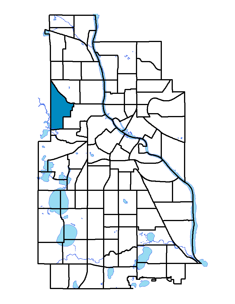
Willard Hay is located in the northwest part of the city. The neighborhood is south of West Broadway Avenue and stretches from Penn Avenue to Xerxes Avenue. It gets its name from two elementary schools within its borders: Francis Willard and John Hay. The former was named after an American educator, author and reformer born in 1859, and the latter was named after an American diplomat and author born in 1839. A mainly residential area, the neighborhood includes Willard-Homewood, one of the city's first planned developments, built during the first quarter of the 20th century and located south of Plymouth Avenue.
To learn more about the neighborhood association visit: www.nrrc.org
Indicator Details
|
Indicators |
Primary Domain | Indicator Value | Rank | Tier |
|---|---|---|---|---|
| Access to Mainstream Financial Services | Economic Health | 42.1% | 76 | Bottom |
| Access to Parks and Open Space | Natural Areas | 12.2% | 24 | Top |
| Adult Educational Attainment | Educational Opportunities | 83.8% | 61 | Bottom |
| Age of Housing | Housing | 93.1% | 62 | Bottom |
| Blood Lead Levels in Children | Housing | 6.5% | 67 | Bottom |
| Business Retention | Economic Health | -1.6% | 70 | Bottom |
| Chronic School Absence | Health Systems and Public Safety | -% | - | Data N/A |
| Commute Mode Share | Transportation | 29.7% | 41 | Middle |
| Employment Rate | Employment Opportunities | 55.8% | 72 | Bottom |
| Excessive Housing Cost Burden | Housing | 43.8% | 70 | Bottom |
| Food Desert | Neighborhood Characteristics | 100.0% | 31 | Middle |
| High School Graduation Rate | Educational Opportunities | -% | - | Data N/A |
| Household Transportation Costs | Transportation | 18.2% | 56 | Middle |
| Local Business Vitality | Economic Health | 42.8% | 86 | Bottom |
| Long-Term Unemployment | Employment Opportunities | 9.9% | 79 | Bottom |
| Low Birth Weight | Health Systems and Public Safety | 14.4% | 79 | Bottom |
| Motor Vehicle Collisions | Health Systems and Public Safety | 12.6 | 60 | Bottom |
| Offsite Alcohol Outlets | Neighborhood Characteristics | 2 | 61 | Bottom |
| Pedestrian Connectivity | Transportation | 118.3 | 54 | Middle |
| Preschool Enrollment | Educational Opportunities | 60.0% | 29 | Top |
| Preventable Hospitalizations | Health Systems and Public Safety | 15 | 81 | Bottom |
| Proximity to Brownfield Sites | Environmental Hazards | 7.2% | 50 | Middle |
| Proximity to Superfund Sites | Environmental Hazards | 5.3% | 38 | Middle |
| Public Assisted Households | Employment Opportunities | 55.3% | 75 | Bottom |
| Reading Proficiency | Educational Opportunities | -% | - | Data N/A |
| Residential Mobility | Social Cohesion | 76.1% | 52 | Middle |
| Residential Proximity to Traffic | Environmental Hazards | 0.0% | 1 | Top |
| School Proximity to Traffic | Environmental Hazards | 0.0% | 1 | Top |
| School Readiness Scores | Educational Opportunities | -% | - | Data N/A |
| Toxic Releases from Facilities | Environmental Hazards | 0.0% | 1 | Top |
| Transit Accessibility | Transportation | 195 | 73 | Bottom |
| Travel Time to Work | Employment Opportunities | 22.1 minutes | 42 | Middle |
| Tree Cover | Natural Areas | 28.8% | 40 | Middle |
| Vacancy Rates | Housing | 14.8% | 79 | Bottom |
| Violent Crime | Health Systems and Public Safety | 73.9 | 67 | Bottom |
| Voter Participation | Social Cohesion | 21.2% | 57 | Middle |
| Walkability | Neighborhood Characteristics | 48 | 68 | Bottom |