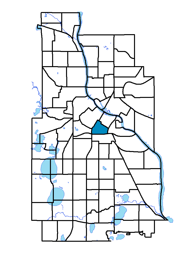
Elliot Park, just south of downtown Minneapolis, is bounded on the north by Fifth Street South, on the east by I-35W, on the south by I-94 and on the west by Fifth Avenue South. The area was first surveyed in the 19th century, just four years after the founding of Minneapolis. The park that’s the neighborhood’s namesake was created on land donated by Dr. Joseph Elliot, a physician who owned a farm there. Many mansions were built in the neighborhood in the late 1800s and early 1900s. Those large homes were eventually converted into apartments to accommodate economic changes and a large influx of new residents. The neighborhood is home to two prominent institutions: Hennepin County Medical Center and North Central University.
To learn more about the neighborhood association visit: www.elliotparkneighborhood.org
Indicator Details
|
Indicators |
Primary Domain | Indicator Value | Rank | Tier |
|---|---|---|---|---|
| Access to Mainstream Financial Services | Economic Health | 37.2% | 71 | Bottom |
| Access to Parks and Open Space | Natural Areas | 3.3% | 57 | Middle |
| Adult Educational Attainment | Educational Opportunities | 83.1% | 63 | Bottom |
| Age of Housing | Housing | 67.6% | 14 | Top |
| Blood Lead Levels in Children | Housing | 0.4% | 3 | Top |
| Business Retention | Economic Health | -0.0% | 58 | Middle |
| Chronic School Absence | Health Systems and Public Safety | 0.0% | 1 | Top |
| Commute Mode Share | Transportation | 55.4% | 4 | Top |
| Employment Rate | Employment Opportunities | 56.6% | 70 | Bottom |
| Excessive Housing Cost Burden | Housing | 38.9% | 65 | Bottom |
| Food Desert | Neighborhood Characteristics | 33.3% | 2 | Top |
| High School Graduation Rate | Educational Opportunities | -% | - | Data N/A |
| Household Transportation Costs | Transportation | 12.7% | 5 | Top |
| Local Business Vitality | Economic Health | 45.4% | 70 | Bottom |
| Long-Term Unemployment | Employment Opportunities | 5.2% | 37 | Middle |
| Low Birth Weight | Health Systems and Public Safety | 5.1% | 23 | Top |
| Motor Vehicle Collisions | Health Systems and Public Safety | 19.7 | 64 | Bottom |
| Offsite Alcohol Outlets | Neighborhood Characteristics | 1.3 | 53 | Middle |
| Pedestrian Connectivity | Transportation | 281 | 5 | Top |
| Preschool Enrollment | Educational Opportunities | 28.8% | 69 | Bottom |
| Preventable Hospitalizations | Health Systems and Public Safety | 10.7 | 76 | Bottom |
| Proximity to Brownfield Sites | Environmental Hazards | 0.0% | 1 | Top |
| Proximity to Superfund Sites | Environmental Hazards | 0.0% | 1 | Top |
| Public Assisted Households | Employment Opportunities | 52.1% | 74 | Bottom |
| Reading Proficiency | Educational Opportunities | -% | - | Data N/A |
| Residential Mobility | Social Cohesion | 60.9% | 79 | Bottom |
| Residential Proximity to Traffic | Environmental Hazards | 46.2% | 80 | Bottom |
| School Proximity to Traffic | Environmental Hazards | 50.0% | 55 | Middle |
| School Readiness Scores | Educational Opportunities | -% | - | Data N/A |
| Toxic Releases from Facilities | Environmental Hazards | 0.0% | 1 | Top |
| Transit Accessibility | Transportation | 837.3 | 6 | Top |
| Travel Time to Work | Employment Opportunities | 20.8 minutes | 17 | Top |
| Tree Cover | Natural Areas | 0.0% | 86 | Bottom |
| Vacancy Rates | Housing | 11.2% | 64 | Bottom |
| Violent Crime | Health Systems and Public Safety | 67.7 | 63 | Bottom |
| Voter Participation | Social Cohesion | 12.1% | 81 | Bottom |
| Walkability | Neighborhood Characteristics | 81 | 14 | Top |