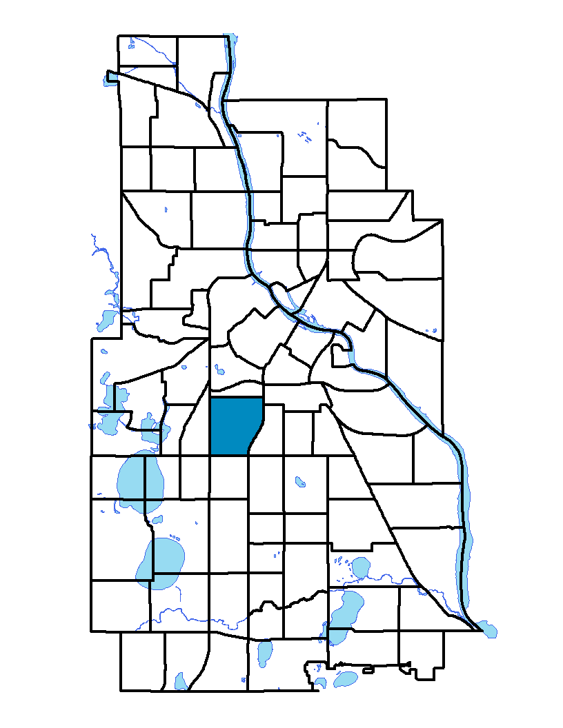
The Whittier neighborhood, on Minneapolis' near south side, is bound on the north by Franklin Avenue East and Franklin Ave West, on the east by I-35W, on the south by Lake Street West and on the west by Lyndale Avenue South. It is one of the city's oldest neighborhoods, having been originally settled in the 19th century, and is named for the poet John Greenleaf Whittier. Blaisdell and Third avenues have some of the oldest houses in Minneapolis, and some beautifully restored houses line Stevens Avenue. Almost 40 percent of this neighborhood's 348 acres are used for multifamily housing, and almost 90 percent of those housing units are renter-occupied. About 60 percent of the land includes a wide variety of uses including eclectic restaurants, neighborhood businesses, an art school and a children's theater. This neighborhood is home to the prestigious Minneapolis Institute of Arts.
To learn more about the neighborhood association visit: www.whittieralliance.org
Indicator Details
|
Indicators |
Primary Domain | Indicator Value | Rank | Tier |
|---|---|---|---|---|
| Access to Mainstream Financial Services | Economic Health | 34.7% | 65 | Bottom |
| Access to Parks and Open Space | Natural Areas | 4.4% | 50 | Middle |
| Adult Educational Attainment | Educational Opportunities | 83.5% | 62 | Bottom |
| Age of Housing | Housing | 82.1% | 34 | Middle |
| Blood Lead Levels in Children | Housing | 4.0% | 41 | Middle |
| Business Retention | Economic Health | 4.2% | 22 | Top |
| Chronic School Absence | Health Systems and Public Safety | 58.3% | 35 | Middle |
| Commute Mode Share | Transportation | 44.5% | 12 | Top |
| Employment Rate | Employment Opportunities | 72.8% | 22 | Top |
| Excessive Housing Cost Burden | Housing | 36.6% | 63 | Bottom |
| Food Desert | Neighborhood Characteristics | 40.0% | 8 | Top |
| High School Graduation Rate | Educational Opportunities | -% | - | Data N/A |
| Household Transportation Costs | Transportation | 13.5% | 7 | Top |
| Local Business Vitality | Economic Health | 51.4% | 55 | Middle |
| Long-Term Unemployment | Employment Opportunities | 4.2% | 20 | Top |
| Low Birth Weight | Health Systems and Public Safety | 7.2% | 43 | Middle |
| Motor Vehicle Collisions | Health Systems and Public Safety | 11.2 | 58 | Middle |
| Offsite Alcohol Outlets | Neighborhood Characteristics | 1 | 6 | Top |
| Pedestrian Connectivity | Transportation | 110.9 | 60 | Bottom |
| Preschool Enrollment | Educational Opportunities | 31.9% | 65 | Bottom |
| Preventable Hospitalizations | Health Systems and Public Safety | 5.8 | 66 | Bottom |
| Proximity to Brownfield Sites | Environmental Hazards | 20.4% | 71 | Bottom |
| Proximity to Superfund Sites | Environmental Hazards | 95.9% | 85 | Bottom |
| Public Assisted Households | Employment Opportunities | 27.3% | 54 | Middle |
| Reading Proficiency | Educational Opportunities | 35.3% | 17 | Top |
| Residential Mobility | Social Cohesion | 64.8% | 76 | Bottom |
| Residential Proximity to Traffic | Environmental Hazards | 26.5% | 65 | Bottom |
| School Proximity to Traffic | Environmental Hazards | 16.7% | 51 | Middle |
| School Readiness Scores | Educational Opportunities | -% | - | Data N/A |
| Toxic Releases from Facilities | Environmental Hazards | 60.2% | 69 | Bottom |
| Transit Accessibility | Transportation | 455.2 | 23 | Top |
| Travel Time to Work | Employment Opportunities | 23.4 minutes | 63 | Bottom |
| Tree Cover | Natural Areas | 28.6% | 42 | Middle |
| Vacancy Rates | Housing | 7.7% | 48 | Middle |
| Violent Crime | Health Systems and Public Safety | 71.4 | 66 | Bottom |
| Voter Participation | Social Cohesion | 16.4% | 70 | Bottom |
| Walkability | Neighborhood Characteristics | 87 | 7 | Top |