"Compare Neighbordhoods" feature is not available in the archived version.
Diamond Lake
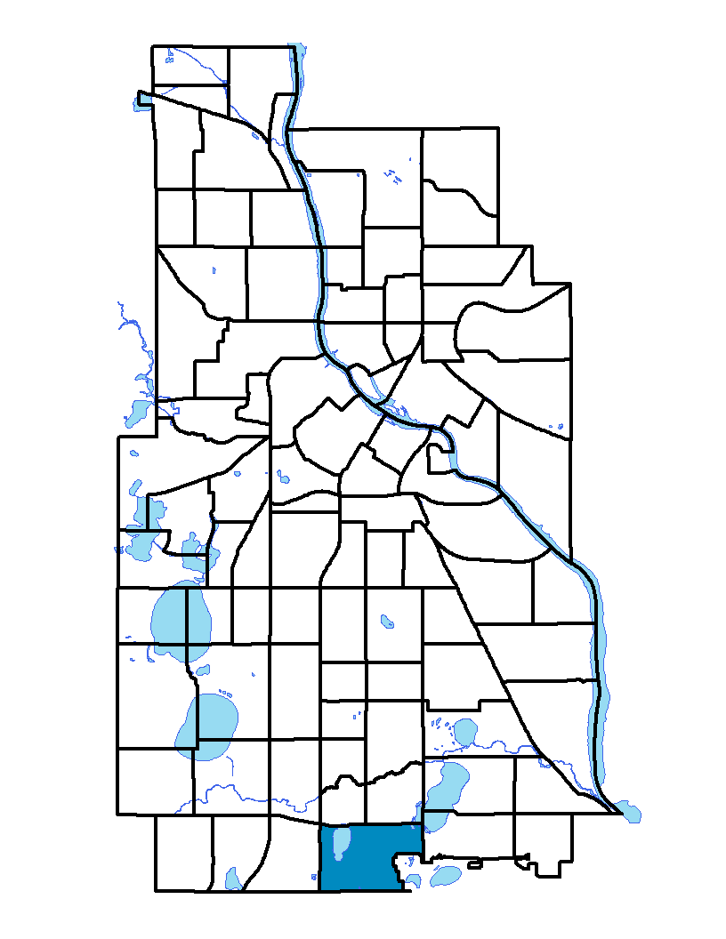
Diamond Lake neighborhood is located on the south side of Minneapolis and is bound by Interstate 35W and Second Avenue South on the west, by Highway 77 and Cedar Avenue on the east, by Highway 62 (which runs along the city limits) on the south, and by 55th Street East and Diamond Lake Road on the north. The Minneapolis–St. Paul International Airport is located directly to the southwest, and the City of Richfield is directly south. The neighborhood takes its name from the lake found in its western end. The neighborhood's northeastern tip connects to Lake Nokomis recreation areas and parks.
Diamond Lake, Hale and Page neighborhoods share a neighborhood association; to learn more visit: http://hpdl.org
Indicator Details
|
Indicators |
Primary Domain | Indicator Value | Rank | Tier |
|---|---|---|---|---|
| Access to Mainstream Financial Services | Economic Health | 21.5% | 38 | Middle |
| Access to Parks and Open Space | Natural Areas | 8.7% | 31 | Middle |
| Adult Educational Attainment | Educational Opportunities | 90.8% | 42 | Middle |
| Age of Housing | Housing | 95.7% | 76 | Bottom |
| Blood Lead Levels in Children | Housing | 1.0% | 7 | Top |
| Business Retention | Economic Health | 1.4% | 44 | Middle |
| Chronic School Absence | Health Systems and Public Safety | -% | - | Data N/A |
| Commute Mode Share | Transportation | 15.3% | 79 | Bottom |
| Employment Rate | Employment Opportunities | 67.3% | 50 | Middle |
| Excessive Housing Cost Burden | Housing | 24.1% | 26 | Top |
| Food Desert | Neighborhood Characteristics | 33.3% | 2 | Top |
| High School Graduation Rate | Educational Opportunities | -% | - | Data N/A |
| Household Transportation Costs | Transportation | 19.5% | 82 | Bottom |
| Local Business Vitality | Economic Health | 70.9% | 5 | Top |
| Long-Term Unemployment | Employment Opportunities | 4.3% | 22 | Top |
| Low Birth Weight | Health Systems and Public Safety | 5.2% | 24 | Top |
| Motor Vehicle Collisions | Health Systems and Public Safety | 7.5 | 48 | Middle |
| Offsite Alcohol Outlets | Neighborhood Characteristics | - | - | Data N/A |
| Pedestrian Connectivity | Transportation | 118.1 | 55 | Middle |
| Preschool Enrollment | Educational Opportunities | 65.3% | 19 | Top |
| Preventable Hospitalizations | Health Systems and Public Safety | 1.4 | 15 | Top |
| Proximity to Brownfield Sites | Environmental Hazards | 3.1% | 33 | Middle |
| Proximity to Superfund Sites | Environmental Hazards | 82.7% | 76 | Bottom |
| Public Assisted Households | Employment Opportunities | 7.3% | 19 | Top |
| Reading Proficiency | Educational Opportunities | -% | - | Data N/A |
| Residential Mobility | Social Cohesion | 89.2% | 9 | Top |
| Residential Proximity to Traffic | Environmental Hazards | 22.4% | 60 | Bottom |
| School Proximity to Traffic | Environmental Hazards | -% | - | Data N/A |
| School Readiness Scores | Educational Opportunities | -% | - | Data N/A |
| Toxic Releases from Facilities | Environmental Hazards | 16.3% | 54 | Middle |
| Transit Accessibility | Transportation | 282.6 | 49 | Middle |
| Travel Time to Work | Employment Opportunities | 21.7 minutes | 32 | Middle |
| Tree Cover | Natural Areas | 30.9% | 22 | Top |
| Vacancy Rates | Housing | 1.7% | 1 | Top |
| Violent Crime | Health Systems and Public Safety | 17.9 | 5 | Top |
| Voter Participation | Social Cohesion | 35.6% | 21 | Top |
| Walkability | Neighborhood Characteristics | 38 | 77 | Bottom |