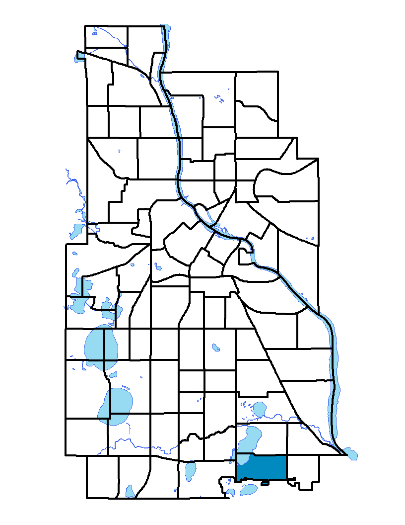
The Wenonah neighborhood is located on the southern edge of Minneapolis. Highway 62 is the southern border and 54th Street is its northern extent. Beyond the main southern border, a small piece of the neighborhood extends into Richfield. The neighborhood is bordered by Cedar Avenue and Lake Nokomis on the west and 34th Avenue on the east. Wenonah neighborhood is named after Hiawatha's mother, the daughter of Nokomis, from a legend that Henry Wadsworth Longfellow attributes to Ojibwe people in his poem, The Song of Hiawatha. Before 1900 the neighborhood was a major American Indian center. The majority of the existing single-family homes were built between the 1920s and the 1960s. A large reason for the development in Wenonah during this time was the availability of streetcar routes and rail lines that date back to 1865. Today, Wenonah is part of the Nokomis community and the Nokomis East Neighborhood Association (NENA). NENA encompasses a total of four neighborhoods, including Keewaydin, Minnehaha and Morris Park. Public and shopping amenities abound for Wenonah and the NENA neighborhoods with parks, lakes, a post office, a library and shops either in Wenonah or other NENA neighborhoods.
Wenonah, Minnehaha, Keewaydin and Morris Park neighborhoods share a neighborhood association; to learn more visit: http://www.nokomiseast.org
Indicator Details
|
Indicators |
Primary Domain | Indicator Value | Rank | Tier |
|---|---|---|---|---|
| Walkability | Neighborhood Characteristics | - | - | Data N/A |
| Voter Participation | Social Cohesion | 24.5% | 47 | Middle |
| Violent Crime | Health Systems and Public Safety | 24.8 | 10 | Top |
| Vacancy Rates | Housing | 1.7% | 1 | Top |
| Tree Cover | Natural Areas | 25.5% | 76 | Bottom |
| Travel Time to Work | Employment Opportunities | 23.3 minutes | 60 | Bottom |
| Transit Accessibility | Transportation | 207.2 | 67 | Bottom |
| Toxic Releases from Facilities | Environmental Hazards | 0.0% | 1 | Top |
| School Readiness Scores | Educational Opportunities | -% | - | Data N/A |
| School Proximity to Traffic | Environmental Hazards | -% | - | Data N/A |
| Residential Proximity to Traffic | Environmental Hazards | 5.8% | 44 | Middle |
| Residential Mobility | Social Cohesion | 86.6% | 16 | Top |
| Reading Proficiency | Educational Opportunities | 48.0% | 15 | Top |
| Public Assisted Households | Employment Opportunities | 19.4% | 44 | Middle |
| Proximity to Superfund Sites | Environmental Hazards | 0.0% | 1 | Top |
| Proximity to Brownfield Sites | Environmental Hazards | 2.9% | 32 | Middle |
| Preventable Hospitalizations | Health Systems and Public Safety | 1.3 | 8 | Top |
| Preschool Enrollment | Educational Opportunities | 37.2% | 59 | Bottom |
| Pedestrian Connectivity | Transportation | 119.7 | 53 | Middle |
| Offsite Alcohol Outlets | Neighborhood Characteristics | - | - | Data N/A |
| Motor Vehicle Collisions | Health Systems and Public Safety | 1.9 | 17 | Top |
| Low Birth Weight | Health Systems and Public Safety | 10.0% | 59 | Bottom |
| Long-Term Unemployment | Employment Opportunities | 5.5% | 45 | Middle |
| Local Business Vitality | Economic Health | 69.8% | 7 | Top |
| Household Transportation Costs | Transportation | 18.6% | 66 | Bottom |
| High School Graduation Rate | Educational Opportunities | -% | - | Data N/A |
| Food Desert | Neighborhood Characteristics | 50.0% | 11 | Top |
| Excessive Housing Cost Burden | Housing | 26.4% | 35 | Middle |
| Employment Rate | Employment Opportunities | 66.8% | 53 | Middle |
| Commute Mode Share | Transportation | 21.4% | 64 | Bottom |
| Chronic School Absence | Health Systems and Public Safety | 36.6% | 14 | Top |
| Business Retention | Economic Health | -5.7% | 83 | Bottom |
| Blood Lead Levels in Children | Housing | 1.5% | 14 | Top |
| Age of Housing | Housing | 92.3% | 59 | Bottom |
| Adult Educational Attainment | Educational Opportunities | 86.5% | 52 | Middle |
| Access to Parks and Open Space | Natural Areas | 14.5% | 18 | Top |
| Access to Mainstream Financial Services | Economic Health | 24.1% | 44 | Middle |