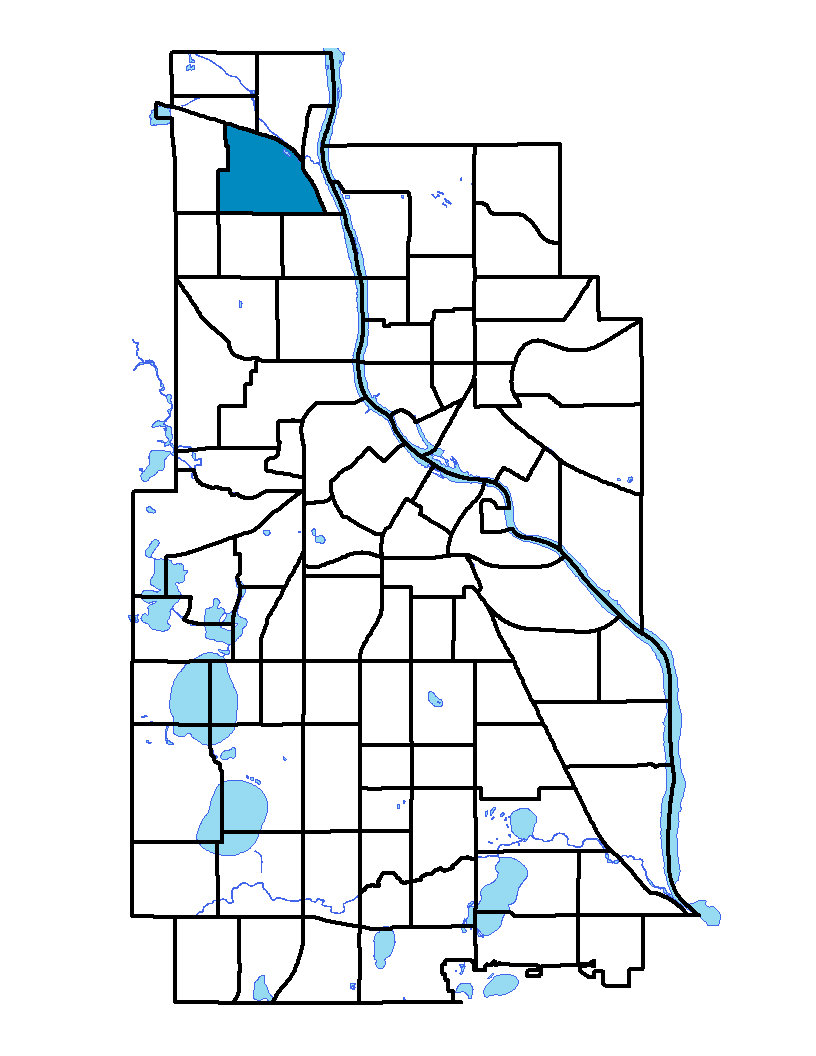
Located in northwest Minneapolis, the Webber-Camden neighborhood gets its name from Webber Park and Webber Parkway, which were both named after Charles C. Webber, who donated a portion of the land for the park. Webber-Camden was also named after Camden, New Jersey. In March 1995 the City Planning Commission approved a change to the neighborhood's northern boundary from Webber Parkway to the railroad tracks, beginning at Highway 52, and then south on 45 th Avenue back to Webber Parkway. The changes did not affect any residential or commercial buildings and did not affect the data used in this report. Today Webber-Camden extends from Interstate 94 on the north. In 1995 the neighborhood added "Webber" to the original name "Camden," changing the name to "Webber-Camden." The neighborhood has industrial zones and a mix of middle-class and working-class homes. Webber Park connects to the Mississippi River, perhaps the area's most prominent feature, to the east.
To learn more about the neighborhood association visit: www.webbercamden.org
Indicator Details
|
Indicators |
Primary Domain | Indicator Value | Rank | Tier |
|---|---|---|---|---|
| Access to Mainstream Financial Services | Economic Health | 34.6% | 64 | Bottom |
| Access to Parks and Open Space | Natural Areas | 5.9% | 42 | Middle |
| Adult Educational Attainment | Educational Opportunities | 79.7% | 70 | Bottom |
| Age of Housing | Housing | 94.6% | 69 | Bottom |
| Blood Lead Levels in Children | Housing | 5.8% | 58 | Middle |
| Business Retention | Economic Health | 1.2% | 49 | Middle |
| Chronic School Absence | Health Systems and Public Safety | 42.2% | 23 | Top |
| Commute Mode Share | Transportation | 31.5% | 39 | Middle |
| Employment Rate | Employment Opportunities | 53.3% | 75 | Bottom |
| Excessive Housing Cost Burden | Housing | 34.4% | 59 | Bottom |
| Food Desert | Neighborhood Characteristics | 100.0% | 31 | Middle |
| High School Graduation Rate | Educational Opportunities | 78.0% | 2 | Top |
| Household Transportation Costs | Transportation | 18.2% | 56 | Middle |
| Local Business Vitality | Economic Health | 58.5% | 27 | Top |
| Long-Term Unemployment | Employment Opportunities | 10.4% | 81 | Bottom |
| Low Birth Weight | Health Systems and Public Safety | 12.3% | 72 | Bottom |
| Motor Vehicle Collisions | Health Systems and Public Safety | 20 | 66 | Bottom |
| Offsite Alcohol Outlets | Neighborhood Characteristics | 1 | 6 | Top |
| Pedestrian Connectivity | Transportation | 135.1 | 38 | Middle |
| Preschool Enrollment | Educational Opportunities | 39.7% | 57 | Middle |
| Preventable Hospitalizations | Health Systems and Public Safety | 9.2 | 73 | Bottom |
| Proximity to Brownfield Sites | Environmental Hazards | 0.0% | 1 | Top |
| Proximity to Superfund Sites | Environmental Hazards | 0.0% | 1 | Top |
| Public Assisted Households | Employment Opportunities | 68.4% | 78 | Bottom |
| Reading Proficiency | Educational Opportunities | -% | - | Data N/A |
| Residential Mobility | Social Cohesion | 77.6% | 50 | Middle |
| Residential Proximity to Traffic | Environmental Hazards | 13.3% | 50 | Middle |
| School Proximity to Traffic | Environmental Hazards | 0.0% | 1 | Top |
| School Readiness Scores | Educational Opportunities | -% | - | Data N/A |
| Toxic Releases from Facilities | Environmental Hazards | 21.1% | 55 | Middle |
| Transit Accessibility | Transportation | 293.4 | 44 | Middle |
| Travel Time to Work | Employment Opportunities | 21.9 minutes | 37 | Middle |
| Tree Cover | Natural Areas | 25.8% | 69 | Bottom |
| Vacancy Rates | Housing | 13.2% | 74 | Bottom |
| Violent Crime | Health Systems and Public Safety | 75.1 | 69 | Bottom |
| Voter Participation | Social Cohesion | 18.4% | 63 | Bottom |
| Walkability | Neighborhood Characteristics | 45 | 70 | Bottom |