"Compare Neighbordhoods" feature is not available in the archived version.
Cleveland
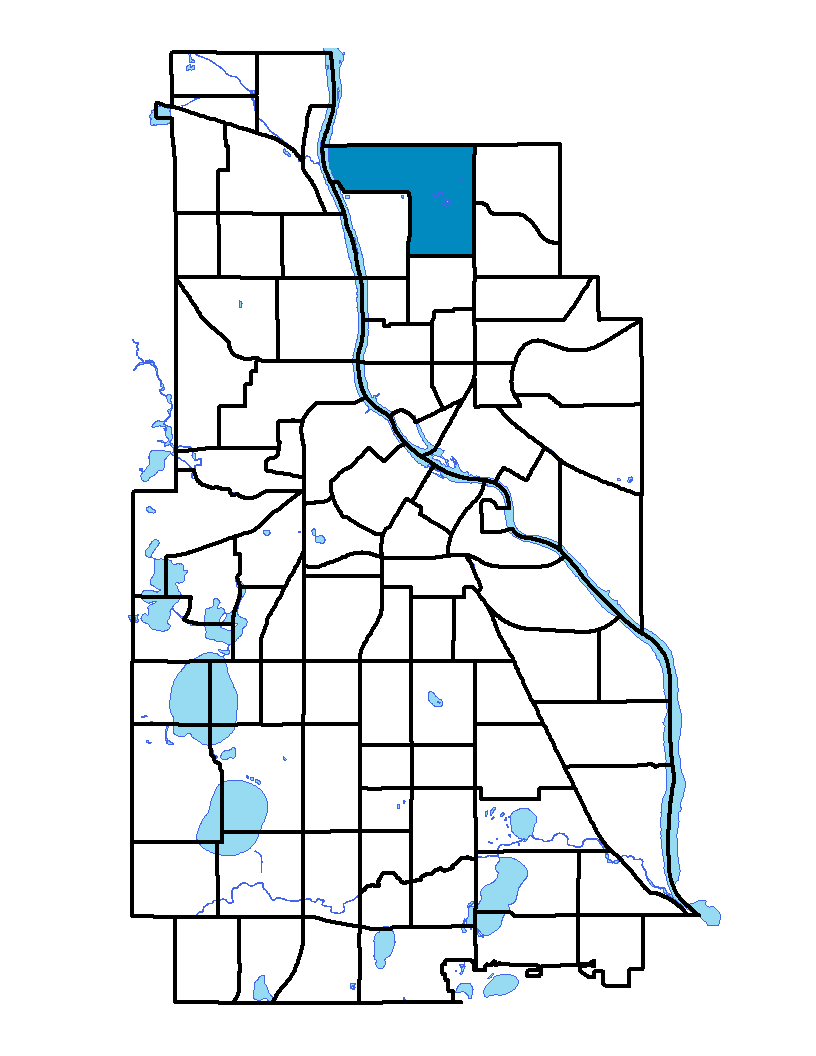
The Cleveland neighborhood is located in northwest Minneapolis. It extends from Dowling Avenue North to Lowry Avenue in the south and from Penn Avenue in the east to Xerxes Avenue – the border between the City of Minneapolis and the City of Robbinsdale – to the west. The neighborhood is named after Grover Cleveland, born in 1837 and twice president of the United States. Cleveland is mainly a single-family detached housing residential neighborhood with a commercial area at the corner of Penn and Lowry avenues. Cleveland Park is located next to Lucy Craft Laney Middle School.
To learn more about the neighborhood association visit: www.clevelandneighborhood.org
Indicator Details
| Indicators | Primary Domain | Indicator Value |
Rank |
Tier |
|---|---|---|---|---|
| High School Graduation Rate | Educational Opportunities | -% | - | Data N/A |
| School Readiness Scores | Educational Opportunities | -% | - | Data N/A |
| Residential Proximity to Traffic | Environmental Hazards | 0.0% | 1 | Top |
| Proximity to Brownfield Sites | Environmental Hazards | 0.0% | 1 | Top |
| School Proximity to Traffic | Environmental Hazards | 0.0% | 1 | Top |
| Proximity to Superfund Sites | Environmental Hazards | 0.0% | 1 | Top |
| Toxic Releases from Facilities | Environmental Hazards | 0.0% | 1 | Top |
| Offsite Alcohol Outlets | Neighborhood Characteristics | 1 | 6 | Top |
| Reading Proficiency | Educational Opportunities | 11.1% | 30 | Middle |
| Food Desert | Neighborhood Characteristics | 100.0% | 31 | Middle |
| Chronic School Absence | Health Systems and Public Safety | 55.1% | 33 | Middle |
| Travel Time to Work | Employment Opportunities | 21.8 minutes | 36 | Middle |
| Adult Educational Attainment | Educational Opportunities | 92.3% | 37 | Middle |
| Long-Term Unemployment | Employment Opportunities | 5.2% | 37 | Middle |
| Motor Vehicle Collisions | Health Systems and Public Safety | 4.7 | 38 | Middle |
| Preschool Enrollment | Educational Opportunities | 51.4% | 41 | Middle |
| Excessive Housing Cost Burden | Housing | 28.0% | 42 | Middle |
| Pedestrian Connectivity | Transportation | 132.5 | 42 | Middle |
| Blood Lead Levels in Children | Housing | 4.2% | 43 | Middle |
| Business Retention | Economic Health | 1.3% | 45 | Middle |
| Employment Rate | Employment Opportunities | 67.1% | 52 | Middle |
| Local Business Vitality | Economic Health | 51.4% | 55 | Middle |
| Violent Crime | Health Systems and Public Safety | 60.5 | 56 | Middle |
| Low Birth Weight | Health Systems and Public Safety | 9.4% | 56 | Middle |
| Public Assisted Households | Employment Opportunities | 27.9% | 57 | Middle |
| Residential Mobility | Social Cohesion | 73.7% | 60 | Bottom |
| Access to Mainstream Financial Services | Economic Health | 31.8% | 60 | Bottom |
| Voter Participation | Social Cohesion | 19.6% | 61 | Bottom |
| Commute Mode Share | Transportation | 20.4% | 67 | Bottom |
| Vacancy Rates | Housing | 11.8% | 68 | Bottom |
| Access to Parks and Open Space | Natural Areas | 2.0% | 68 | Bottom |
| Household Transportation Costs | Transportation | 18.9% | 70 | Bottom |
| Walkability | Neighborhood Characteristics | 42 | 73 | Bottom |
| Age of Housing | Housing | 95.9% | 78 | Bottom |
| Tree Cover | Natural Areas | 24.5% | 79 | Bottom |
| Preventable Hospitalizations | Health Systems and Public Safety | 19.8 | 85 | Bottom |
| Transit Accessibility | Transportation | 119.8 | 86 | Bottom |