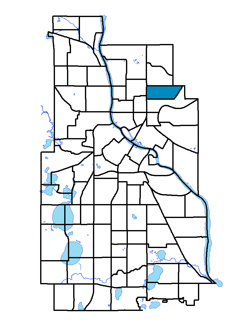
Windom Park is in the Northeast community of Minneapolis. The neighborhood is bounded on the north by Lowry Avenue NE, on the west by Central Avenue NE, on the south by 18th Avenue NE and on the east by New Brighton Boulevard. Windom Park is named after William Windom, who served from the mid- to late-1800s as a United States senator from Minnesota and as secretary of the U.S. Department of Treasury. This is a mainly residential neighborhood; single-family dwellings tend to predominate in the eastern quadrant, while multifamily buildings are a feature in the western quadrant, particularly in the vicinity of Central Avenue. Central Avenue, the neighborhood's western border, is a very active commercial corridor. Many ethnic restaurants line the street, showing how new immigrants are reshaping the neighborhood.
To learn more about the neighborhood association visit: www.windompark.org
Indicator Details
|
Indicators |
Primary Domain | Indicator Value | Rank | Tier |
|---|---|---|---|---|
| Access to Mainstream Financial Services | Economic Health | 22.4% | 39 | Middle |
| Access to Parks and Open Space | Natural Areas | 19.6% | 11 | Top |
| Adult Educational Attainment | Educational Opportunities | 92.5% | 36 | Middle |
| Age of Housing | Housing | 92.1% | 58 | Middle |
| Blood Lead Levels in Children | Housing | 3.6% | 36 | Middle |
| Business Retention | Economic Health | 0.6% | 55 | Middle |
| Chronic School Absence | Health Systems and Public Safety | -% | - | Data N/A |
| Commute Mode Share | Transportation | 23.0% | 56 | Middle |
| Employment Rate | Employment Opportunities | 63.5% | 62 | Bottom |
| Excessive Housing Cost Burden | Housing | 30.1% | 51 | Middle |
| Food Desert | Neighborhood Characteristics | 50.0% | 11 | Top |
| High School Graduation Rate | Educational Opportunities | -% | - | Data N/A |
| Household Transportation Costs | Transportation | 16.4% | 37 | Middle |
| Local Business Vitality | Economic Health | 60.0% | 21 | Top |
| Long-Term Unemployment | Employment Opportunities | 3.0% | 8 | Top |
| Low Birth Weight | Health Systems and Public Safety | 3.5% | 11 | Top |
| Motor Vehicle Collisions | Health Systems and Public Safety | 2.9 | 28 | Top |
| Offsite Alcohol Outlets | Neighborhood Characteristics | 2 | 61 | Bottom |
| Pedestrian Connectivity | Transportation | 133 | 41 | Middle |
| Preschool Enrollment | Educational Opportunities | 54.5% | 37 | Middle |
| Preventable Hospitalizations | Health Systems and Public Safety | 2.1 | 38 | Middle |
| Proximity to Brownfield Sites | Environmental Hazards | 1.2% | 23 | Top |
| Proximity to Superfund Sites | Environmental Hazards | 13.3% | 42 | Middle |
| Public Assisted Households | Employment Opportunities | 25.3% | 51 | Middle |
| Reading Proficiency | Educational Opportunities | -% | - | Data N/A |
| Residential Mobility | Social Cohesion | 81.7% | 37 | Middle |
| Residential Proximity to Traffic | Environmental Hazards | 0.0% | 1 | Top |
| School Proximity to Traffic | Environmental Hazards | -% | - | Data N/A |
| School Readiness Scores | Educational Opportunities | -% | - | Data N/A |
| Toxic Releases from Facilities | Environmental Hazards | 37.3% | 59 | Bottom |
| Transit Accessibility | Transportation | 216.7 | 66 | Bottom |
| Travel Time to Work | Employment Opportunities | 22.7 minutes | 51 | Middle |
| Tree Cover | Natural Areas | 25.6% | 74 | Bottom |
| Vacancy Rates | Housing | 3.2% | 7 | Top |
| Violent Crime | Health Systems and Public Safety | 30.1 | 16 | Top |
| Voter Participation | Social Cohesion | 28.5% | 36 | Middle |
| Walkability | Neighborhood Characteristics | 69 | 28 | Top |