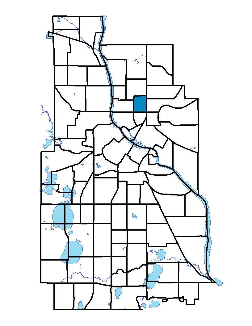
Logan Park neighborhood in northeast Minneapolis is bound on the north by 19th Avenue Northeast, on the east by Central Avenue Northeast, on the south by Broadway Avenue Northeast and on the west by Washington Street Northeast. This 150-acre neighborhood is 40 percent residential with industry comprising nearly 30 percent and 11.5 percent dedicated to parks and recreational uses. The neighborhood has many large Victorian houses and is built around Logan Park, a square dating back to the 1800s and named for Civil War general and U.S. Sen. John A. Logan. Railroad tracks along Central Avenue divide the neighborhood into an industrial area and the residential district.
To learn more about the neighborhood association visit: www.loganparkneighborhood.org
Indicator Details
|
Indicators |
Primary Domain | Indicator Value | Rank | Tier |
|---|---|---|---|---|
| Access to Mainstream Financial Services | Economic Health | 30.8% | 59 | Bottom |
| Access to Parks and Open Space | Natural Areas | 5.1% | 45 | Middle |
| Adult Educational Attainment | Educational Opportunities | 79.5% | 71 | Bottom |
| Age of Housing | Housing | 89.2% | 51 | Middle |
| Blood Lead Levels in Children | Housing | 5.3% | 54 | Middle |
| Business Retention | Economic Health | 7.0% | 4 | Top |
| Chronic School Absence | Health Systems and Public Safety | -% | - | Data N/A |
| Commute Mode Share | Transportation | 39.3% | 17 | Top |
| Employment Rate | Employment Opportunities | 66.5% | 56 | Middle |
| Excessive Housing Cost Burden | Housing | 31.6% | 56 | Middle |
| Food Desert | Neighborhood Characteristics | 100.0% | 31 | Middle |
| High School Graduation Rate | Educational Opportunities | -% | - | Data N/A |
| Household Transportation Costs | Transportation | 16.0% | 30 | Middle |
| Local Business Vitality | Economic Health | 43.9% | 75 | Bottom |
| Long-Term Unemployment | Employment Opportunities | 8.7% | 71 | Bottom |
| Low Birth Weight | Health Systems and Public Safety | 12.4% | 73 | Bottom |
| Motor Vehicle Collisions | Health Systems and Public Safety | 3.4 | 29 | Top |
| Offsite Alcohol Outlets | Neighborhood Characteristics | 1 | 6 | Top |
| Pedestrian Connectivity | Transportation | 147.1 | 30 | Middle |
| Preschool Enrollment | Educational Opportunities | 100.0% | 1 | Top |
| Preventable Hospitalizations | Health Systems and Public Safety | 4.1 | 59 | Bottom |
| Proximity to Brownfield Sites | Environmental Hazards | 35.3% | 83 | Bottom |
| Proximity to Superfund Sites | Environmental Hazards | 0.0% | 1 | Top |
| Public Assisted Households | Employment Opportunities | 40.0% | 68 | Bottom |
| Reading Proficiency | Educational Opportunities | -% | - | Data N/A |
| Residential Mobility | Social Cohesion | 86.3% | 17 | Top |
| Residential Proximity to Traffic | Environmental Hazards | 0.0% | 1 | Top |
| School Proximity to Traffic | Environmental Hazards | -% | - | Data N/A |
| School Readiness Scores | Educational Opportunities | -% | - | Data N/A |
| Toxic Releases from Facilities | Environmental Hazards | 14.7% | 53 | Middle |
| Transit Accessibility | Transportation | 197.3 | 71 | Bottom |
| Travel Time to Work | Employment Opportunities | 24.9 minutes | 81 | Bottom |
| Tree Cover | Natural Areas | 24.0% | 82 | Bottom |
| Vacancy Rates | Housing | 13.1% | 73 | Bottom |
| Violent Crime | Health Systems and Public Safety | 48.6 | 48 | Middle |
| Voter Participation | Social Cohesion | 23.4% | 52 | Middle |
| Walkability | Neighborhood Characteristics | 67 | 33 | Middle |