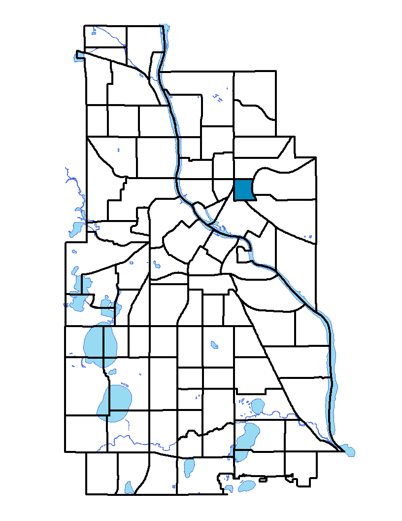
Beltrami neighborhood is in the Northeast community of Minneapolis. It is bound on the north by Broadway Street NE, on the east by Interstate 35W, on the south by Hennepin Avenue East and on the west by Central Avenue NE and Harrison Street NE. Located within the neighborhood is Beltrami Park, which has a playground, bocci courts, soccer and softball fields, tennis courts, a sand volleyball court and a basketball court. Beltrami neighborhood and park are named after Giacomo Constantino Beltrami, an early 19th century Italian jurist, scholar and explorer. As with other neighborhoods in northeast Minneapolis, many artists have set up studios in Beltrami. Large tracts of industrial land cover the southwestern part of the neighborhood, while the remaining land is dedicated to single-family dwellings interspersed with low-rise multifamily buildings.
To learn more about the neighborhood association visit: www.discoverbeltrami.org
Indicator Details
|
Indicators |
Primary Domain | Indicator Value | Rank | Tier |
|---|---|---|---|---|
| Access to Mainstream Financial Services | Economic Health | 35.4% | 67 | Bottom |
| Access to Parks and Open Space | Natural Areas | 5.6% | 43 | Middle |
| Adult Educational Attainment | Educational Opportunities | 84.7% | 55 | Middle |
| Age of Housing | Housing | 77.0% | 23 | Top |
| Blood Lead Levels in Children | Housing | 2.4% | 26 | Top |
| Business Retention | Economic Health | 6.2% | 10 | Top |
| Chronic School Absence | Health Systems and Public Safety | -% | - | Data N/A |
| Commute Mode Share | Transportation | 38.2% | 21 | Top |
| Employment Rate | Employment Opportunities | 69.1% | 41 | Middle |
| Excessive Housing Cost Burden | Housing | 44.3% | 72 | Bottom |
| Food Desert | Neighborhood Characteristics | 100.0% | 31 | Middle |
| High School Graduation Rate | Educational Opportunities | -% | - | Data N/A |
| Household Transportation Costs | Transportation | 16.8% | 42 | Middle |
| Local Business Vitality | Economic Health | 47.4% | 63 | Bottom |
| Long-Term Unemployment | Employment Opportunities | 9.4% | 77 | Bottom |
| Low Birth Weight | Health Systems and Public Safety | 5.8% | 29 | Top |
| Motor Vehicle Collisions | Health Systems and Public Safety | 7.5 | 48 | Middle |
| Offsite Alcohol Outlets | Neighborhood Characteristics | 1 | 6 | Top |
| Pedestrian Connectivity | Transportation | 152.7 | 26 | Top |
| Preschool Enrollment | Educational Opportunities | -% | - | Data N/A |
| Preventable Hospitalizations | Health Systems and Public Safety | 3 | 50 | Middle |
| Proximity to Brownfield Sites | Environmental Hazards | 4.3% | 41 | Middle |
| Proximity to Superfund Sites | Environmental Hazards | 39.1% | 56 | Middle |
| Public Assisted Households | Employment Opportunities | 27.8% | 55 | Middle |
| Reading Proficiency | Educational Opportunities | -% | - | Data N/A |
| Residential Mobility | Social Cohesion | 68.0% | 73 | Bottom |
| Residential Proximity to Traffic | Environmental Hazards | 21.7% | 57 | Middle |
| School Proximity to Traffic | Environmental Hazards | -% | - | Data N/A |
| School Readiness Scores | Educational Opportunities | -% | - | Data N/A |
| Toxic Releases from Facilities | Environmental Hazards | 100.0% | 84 | Bottom |
| Transit Accessibility | Transportation | 415.3 | 26 | Top |
| Travel Time to Work | Employment Opportunities | 23.4 minutes | 63 | Bottom |
| Tree Cover | Natural Areas | 29.3% | 35 | Middle |
| Vacancy Rates | Housing | 19.3% | 83 | Bottom |
| Violent Crime | Health Systems and Public Safety | 52.9 | 50 | Middle |
| Voter Participation | Social Cohesion | 24.5% | 47 | Middle |
| Walkability | Neighborhood Characteristics | 62 | 44 | Middle |