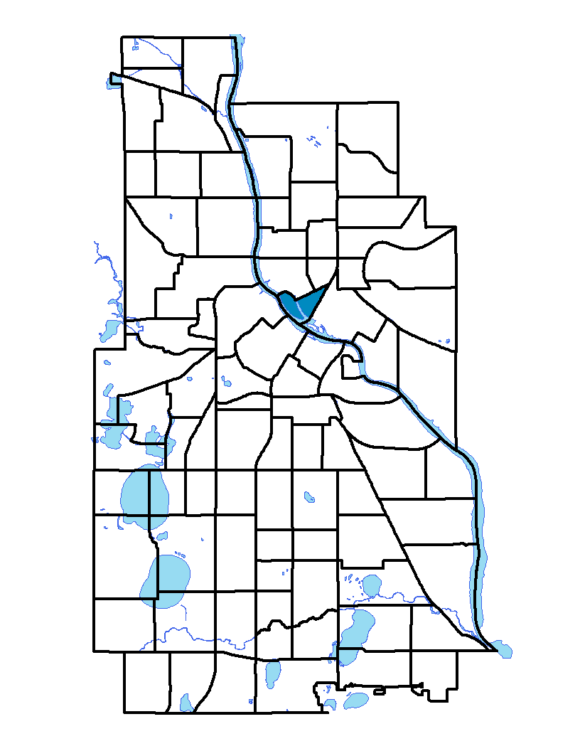
The Nicollet Island/East Bank neighborhood comprises Nicollet Island on the Mississippi River just east of downtown and the portion of the eastern riverbank located between Central Avenue and the Burlington Northern Santa Fe Railroad line. The neighborhood is at the geographical and historical center of Minneapolis. The island is named for Joseph Nicollet, a scientist, geographer and mathematician born in Savoy, France. He led three expeditions through Minnesota, and authored the influential book Map of the Hydrographical Basin of the Upper Mississippi. Hennepin Avenue East and First Avenue Northeast are two of the main roads that connect the island to the rest of Minneapolis. The island spans 47 acres, and all but two of the houses on the island date from 1864 to 1898.
To learn more about the neighborhood association visit: www.niebna.com
Indicator Details
|
Indicators |
Primary Domain | Indicator Value | Rank | Tier |
|---|---|---|---|---|
| Access to Mainstream Financial Services | Economic Health | 15.4% | 22 | Top |
| Access to Parks and Open Space | Natural Areas | 18.0% | 13 | Top |
| Adult Educational Attainment | Educational Opportunities | 98.7% | 5 | Top |
| Age of Housing | Housing | 32.6% | 1 | Top |
| Blood Lead Levels in Children | Housing | -% | - | Data N/A |
| Business Retention | Economic Health | 5.7% | 14 | Top |
| Chronic School Absence | Health Systems and Public Safety | -% | - | Data N/A |
| Commute Mode Share | Transportation | 34.0% | 33 | Middle |
| Employment Rate | Employment Opportunities | 72.8% | 22 | Top |
| Excessive Housing Cost Burden | Housing | 29.9% | 48 | Middle |
| Food Desert | Neighborhood Characteristics | -% | - | Data N/A |
| High School Graduation Rate | Educational Opportunities | -% | - | Data N/A |
| Household Transportation Costs | Transportation | 14.7% | 17 | Top |
| Local Business Vitality | Economic Health | 43.8% | 76 | Bottom |
| Long-Term Unemployment | Employment Opportunities | 5.4% | 44 | Middle |
| Low Birth Weight | Health Systems and Public Safety | -% | - | Data N/A |
| Motor Vehicle Collisions | Health Systems and Public Safety | 109.2 | 84 | Bottom |
| Offsite Alcohol Outlets | Neighborhood Characteristics | 1 | 6 | Top |
| Pedestrian Connectivity | Transportation | 465.3 | 1 | Top |
| Preschool Enrollment | Educational Opportunities | 100.0% | 1 | Top |
| Preventable Hospitalizations | Health Systems and Public Safety | 4.2 | 62 | Bottom |
| Proximity to Brownfield Sites | Environmental Hazards | 26.7% | 78 | Bottom |
| Proximity to Superfund Sites | Environmental Hazards | 100.0% | 86 | Bottom |
| Public Assisted Households | Employment Opportunities | 9.0% | 23 | Top |
| Reading Proficiency | Educational Opportunities | -% | - | Data N/A |
| Residential Mobility | Social Cohesion | 79.0% | 45 | Middle |
| Residential Proximity to Traffic | Environmental Hazards | 0.0% | 1 | Top |
| School Proximity to Traffic | Environmental Hazards | -% | - | Data N/A |
| School Readiness Scores | Educational Opportunities | -% | - | Data N/A |
| Toxic Releases from Facilities | Environmental Hazards | 100.0% | 84 | Bottom |
| Transit Accessibility | Transportation | 912.3 | 4 | Top |
| Travel Time to Work | Employment Opportunities | 19.4 minutes | 6 | Top |
| Tree Cover | Natural Areas | 28.9% | 39 | Middle |
| Vacancy Rates | Housing | 9.7% | 56 | Middle |
| Violent Crime | Health Systems and Public Safety | 111.5 | 78 | Bottom |
| Voter Participation | Social Cohesion | 28.9% | 35 | Middle |
| Walkability | Neighborhood Characteristics | 90 | 3 | Top |