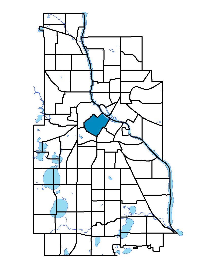
Downtown West neighborhood is the core of downtown Minneapolis. It extends from the Mississippi River to 12 th Street and from Third Avenue North, Washington Avenue North and Hennepin Avenue to Portland Avenue, Fifth Street South and Fifth Avenue South. With the bulk of office building space in the Twin Cities metropolitan area, downtown is home to many corporate headquarters and hotels. Nicollet Mall – very active with restaurants and shopping – runs south from Washington Avenue. Hennepin Avenue has a concentration of theaters and entertainment. The neighborhood is home to the Minnesota Orchestra, located on Nicollet Mall. The orchestra was founded in 1903 and is well-known at home and abroad.
To learn more about the neighborhood association visit: www.thedmna.org
Indicator Details
|
Indicators |
Primary Domain | Indicator Value | Rank | Tier |
|---|---|---|---|---|
| Access to Mainstream Financial Services | Economic Health | 9.7% | 7 | Top |
| Access to Parks and Open Space | Natural Areas | 1.8% | 69 | Bottom |
| Adult Educational Attainment | Educational Opportunities | 86.7% | 51 | Middle |
| Age of Housing | Housing | 35.0% | 2 | Top |
| Blood Lead Levels in Children | Housing | 5.0% | 53 | Middle |
| Business Retention | Economic Health | -14.3% | 86 | Bottom |
| Chronic School Absence | Health Systems and Public Safety | -% | - | Data N/A |
| Commute Mode Share | Transportation | 48.7% | 10 | Top |
| Employment Rate | Employment Opportunities | 60.3% | 69 | Bottom |
| Excessive Housing Cost Burden | Housing | 27.6% | 39 | Middle |
| Food Desert | Neighborhood Characteristics | 50.0% | 11 | Top |
| High School Graduation Rate | Educational Opportunities | -% | - | Data N/A |
| Household Transportation Costs | Transportation | 13.7% | 10 | Top |
| Local Business Vitality | Economic Health | 45.9% | 67 | Bottom |
| Long-Term Unemployment | Employment Opportunities | 8.8% | 73 | Bottom |
| Low Birth Weight | Health Systems and Public Safety | 10.9% | 64 | Bottom |
| Motor Vehicle Collisions | Health Systems and Public Safety | 25.7 | 72 | Bottom |
| Offsite Alcohol Outlets | Neighborhood Characteristics | 9 | 72 | Bottom |
| Pedestrian Connectivity | Transportation | 154 | 23 | Top |
| Preschool Enrollment | Educational Opportunities | -% | - | Data N/A |
| Preventable Hospitalizations | Health Systems and Public Safety | 2.7 | 42 | Middle |
| Proximity to Brownfield Sites | Environmental Hazards | 29.7% | 80 | Bottom |
| Proximity to Superfund Sites | Environmental Hazards | 4.2% | 36 | Middle |
| Public Assisted Households | Employment Opportunities | 19.7% | 45 | Middle |
| Reading Proficiency | Educational Opportunities | -% | - | Data N/A |
| Residential Mobility | Social Cohesion | 57.9% | 83 | Bottom |
| Residential Proximity to Traffic | Environmental Hazards | 15.3% | 53 | Middle |
| School Proximity to Traffic | Environmental Hazards | 0.0% | 1 | Top |
| School Readiness Scores | Educational Opportunities | -% | - | Data N/A |
| Toxic Releases from Facilities | Environmental Hazards | 39.8% | 62 | Bottom |
| Transit Accessibility | Transportation | 2861.9 | 1 | Top |
| Travel Time to Work | Employment Opportunities | 18.3 minutes | 3 | Top |
| Tree Cover | Natural Areas | 17.7% | 85 | Bottom |
| Vacancy Rates | Housing | 10.4% | 60 | Bottom |
| Violent Crime | Health Systems and Public Safety | 421.6 | 85 | Bottom |
| Voter Participation | Social Cohesion | 19.8% | 59 | Bottom |
| Walkability | Neighborhood Characteristics | 94 | 1 | Top |