"Compare Neighbordhoods" feature is not available in the archived version.
University of Minnesota
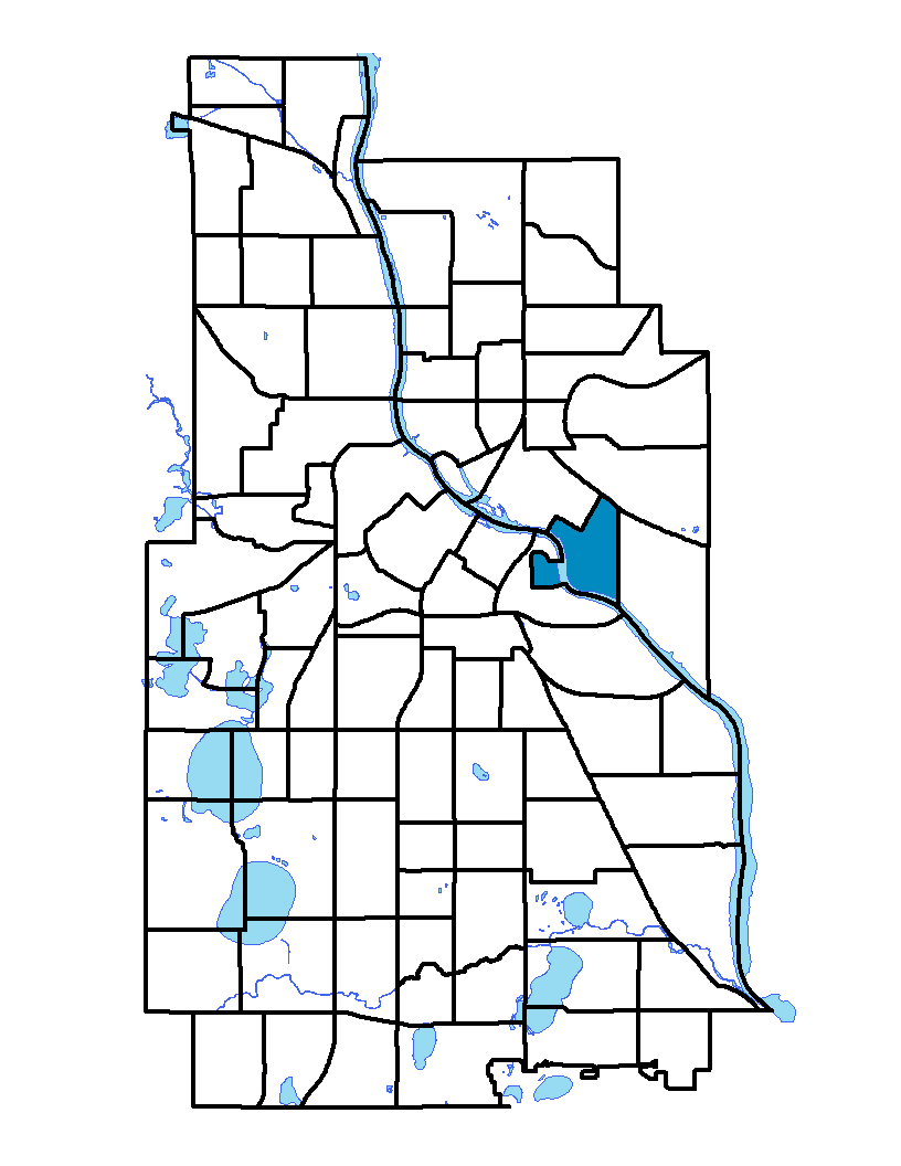
The University neighborhood is located east of downtown Minneapolis. The Mississippi River divides the neighborhood into the west bank and the east bank. The neighborhood is occupied almost entirely by the University of Minnesota, hence its name. The University of Minnesota is one of the top public universities in the country and has facilities throughout the state. The main campus in Minneapolis occupies about 2,000 acres of land. The University of Minnesota, Twin Cities includes the Minneapolis and Saint Paul campuses.
To learn more about the neighborhood association visit: www.marcy-holmes.org/neighborhood
Indicator Details
|
Indicators |
Primary Domain | Indicator Value | Rank | Tier |
|---|---|---|---|---|
| Access to Mainstream Financial Services | Economic Health | 36.9% | 70 | Bottom |
| Access to Parks and Open Space | Natural Areas | 22.7% | 6 | Top |
| Adult Educational Attainment | Educational Opportunities | 81.8% | 66 | Bottom |
| Age of Housing | Housing | 60.8% | 8 | Top |
| Blood Lead Levels in Children | Housing | -% | - | Data N/A |
| Business Retention | Economic Health | -7.3% | 84 | Bottom |
| Chronic School Absence | Health Systems and Public Safety | -% | - | Data N/A |
| Commute Mode Share | Transportation | 64.1% | 1 | Top |
| Employment Rate | Employment Opportunities | 41.0% | 85 | Bottom |
| Excessive Housing Cost Burden | Housing | 56.1% | 86 | Bottom |
| Food Desert | Neighborhood Characteristics | 50.0% | 11 | Top |
| High School Graduation Rate | Educational Opportunities | -% | - | Data N/A |
| Household Transportation Costs | Transportation | 15.8% | 28 | Top |
| Local Business Vitality | Economic Health | 43.3% | 83 | Bottom |
| Long-Term Unemployment | Employment Opportunities | 8.2% | 68 | Bottom |
| Low Birth Weight | Health Systems and Public Safety | -% | - | Data N/A |
| Motor Vehicle Collisions | Health Systems and Public Safety | 82.3 | 83 | Bottom |
| Offsite Alcohol Outlets | Neighborhood Characteristics | 2.5 | 70 | Bottom |
| Pedestrian Connectivity | Transportation | 427.8 | 2 | Top |
| Preschool Enrollment | Educational Opportunities | 100.0% | 1 | Top |
| Preventable Hospitalizations | Health Systems and Public Safety | 4.1 | 59 | Bottom |
| Proximity to Brownfield Sites | Environmental Hazards | 13.2% | 60 | Bottom |
| Proximity to Superfund Sites | Environmental Hazards | 81.6% | 75 | Bottom |
| Public Assisted Households | Employment Opportunities | 21.1% | 46 | Middle |
| Reading Proficiency | Educational Opportunities | -% | - | Data N/A |
| Residential Mobility | Social Cohesion | 41.7% | 86 | Bottom |
| Residential Proximity to Traffic | Environmental Hazards | 13.2% | 49 | Middle |
| School Proximity to Traffic | Environmental Hazards | -% | - | Data N/A |
| School Readiness Scores | Educational Opportunities | -% | - | Data N/A |
| Toxic Releases from Facilities | Environmental Hazards | 39.5% | 61 | Bottom |
| Transit Accessibility | Transportation | 741.9 | 7 | Top |
| Travel Time to Work | Employment Opportunities | 17.7 minutes | 1 | Top |
| Tree Cover | Natural Areas | 29.8% | 30 | Middle |
| Vacancy Rates | Housing | 12.8% | 71 | Bottom |
| Violent Crime | Health Systems and Public Safety | 18.6 | 6 | Top |
| Voter Participation | Social Cohesion | 4.6% | 85 | Bottom |
| Walkability | Neighborhood Characteristics | 79 | 17 | Top |