"Compare Neighbordhoods" feature is not available in the archived version.
Bryn - Mawr
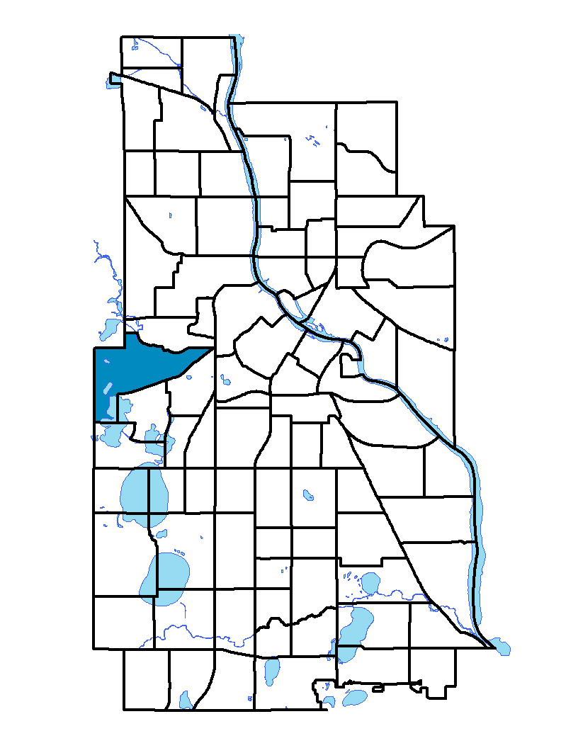
Located west of downtown and on Minneapolis' western edge, Bryn Mawr neighborhood borders parkland: Theodore Wirth Park to the north and west, Bassett Creek to the north, Bryn Mawr Meadows to the east and Cedar Lake Park in the south. Interstate 394 bisects Bryn Mawr and is the major entrance to the neighborhood. The neighborhood was named after one of the area's elementary schools and the neighborhood's community park. Bryn Mawr in Welsh means "big hill".
To learn more about the neighborhood association visit: www.bmna.org
Indicator Details
|
Indicators |
Primary Domain | Indicator Value | Rank | Tier |
|---|---|---|---|---|
| Walkability | Neighborhood Characteristics | 38 | 77 | Bottom |
| Voter Participation | Social Cohesion | 47.0% | 6 | Top |
| Violent Crime | Health Systems and Public Safety | 43.8 | 40 | Middle |
| Vacancy Rates | Housing | 8.3% | 51 | Middle |
| Tree Cover | Natural Areas | 49.6% | 1 | Top |
| Travel Time to Work | Employment Opportunities | 20.4 minutes | 15 | Top |
| Transit Accessibility | Transportation | 179.5 | 77 | Bottom |
| Toxic Releases from Facilities | Environmental Hazards | 0.0% | 1 | Top |
| School Readiness Scores | Educational Opportunities | -% | - | Data N/A |
| School Proximity to Traffic | Environmental Hazards | -% | - | Data N/A |
| Residential Proximity to Traffic | Environmental Hazards | 27.1% | 66 | Bottom |
| Residential Mobility | Social Cohesion | 85.8% | 19 | Top |
| Reading Proficiency | Educational Opportunities | 27.7% | 19 | Top |
| Public Assisted Households | Employment Opportunities | 3.0% | 7 | Top |
| Proximity to Superfund Sites | Environmental Hazards | 31.8% | 51 | Middle |
| Proximity to Brownfield Sites | Environmental Hazards | 0.0% | 1 | Top |
| Preventable Hospitalizations | Health Systems and Public Safety | 3 | 50 | Middle |
| Preschool Enrollment | Educational Opportunities | 95.0% | 7 | Top |
| Pedestrian Connectivity | Transportation | 97.9 | 71 | Bottom |
| Offsite Alcohol Outlets | Neighborhood Characteristics | 1 | 6 | Top |
| Motor Vehicle Collisions | Health Systems and Public Safety | 36.2 | 77 | Bottom |
| Low Birth Weight | Health Systems and Public Safety | 5.6% | 28 | Top |
| Long-Term Unemployment | Employment Opportunities | 3.6% | 15 | Top |
| Local Business Vitality | Economic Health | 57.6% | 34 | Middle |
| Household Transportation Costs | Transportation | 19.3% | 80 | Bottom |
| High School Graduation Rate | Educational Opportunities | -% | - | Data N/A |
| Food Desert | Neighborhood Characteristics | -% | - | Data N/A |
| Excessive Housing Cost Burden | Housing | 18.0% | 6 | Top |
| Employment Rate | Employment Opportunities | 70.6% | 33 | Middle |
| Commute Mode Share | Transportation | 21.7% | 61 | Bottom |
| Chronic School Absence | Health Systems and Public Safety | -% | - | Data N/A |
| Business Retention | Economic Health | 0.6% | 55 | Middle |
| Blood Lead Levels in Children | Housing | 0.0% | 1 | Top |
| Age of Housing | Housing | 76.1% | 21 | Top |
| Adult Educational Attainment | Educational Opportunities | 98.7% | 5 | Top |
| Access to Parks and Open Space | Natural Areas | 29.3% | 3 | Top |
| Access to Mainstream Financial Services | Economic Health | 10.3% | 8 | Top |