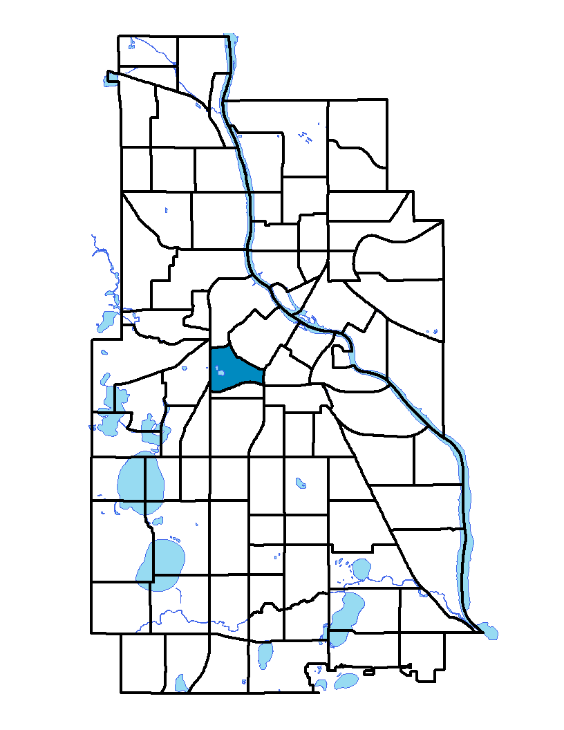
Loring Park neighborhood is located in the southwest portion of downtown Minneapolis. The neighborhood is bound on the west by West Lyndale North, Lyndale South and Hennepin avenues; on the south by Interstate 94 and on the east by Highway 65. Interstate 394 and 12th Street North and South form the northern and northeastern borders. The neighborhood is named for its park, Loring Park, which was known as Central Park until its name was changed in honor of Charles Loring, the first superintendent of the Minneapolis park system. Turn-of-the-century brick walk-up apartments and a row of businesses surround the park. The neighborhood is home to important institutions and buildings such as the Basilica of Saint Mary, the Hennepin Avenue United Methodist Church and the Woman's Club. The Walker Art Center and Guthrie Theater nearby and many restaurants and cafés ensure an active social and cultural life.
To learn more about the neighborhood association visit: www.loringpark.org
Learn more about: Loring Park Neighborhood Master Plan
Indicator Details
|
Indicators |
Primary Domain | Indicator Value | Rank | Tier |
|---|---|---|---|---|
| Access to Mainstream Financial Services | Economic Health | 9.3% | 5 | Top |
| Access to Parks and Open Space | Natural Areas | 9.1% | 29 | Top |
| Adult Educational Attainment | Educational Opportunities | 95.0% | 28 | Top |
| Age of Housing | Housing | 67.1% | 13 | Top |
| Blood Lead Levels in Children | Housing | 2.1% | 22 | Top |
| Business Retention | Economic Health | 1.7% | 40 | Middle |
| Chronic School Absence | Health Systems and Public Safety | 37.9% | 18 | Top |
| Commute Mode Share | Transportation | 49.9% | 9 | Top |
| Employment Rate | Employment Opportunities | 69.3% | 39 | Middle |
| Excessive Housing Cost Burden | Housing | 30.0% | 49 | Middle |
| Food Desert | Neighborhood Characteristics | 33.3% | 2 | Top |
| High School Graduation Rate | Educational Opportunities | -% | - | Data N/A |
| Household Transportation Costs | Transportation | 12.1% | 3 | Top |
| Local Business Vitality | Economic Health | 45.8% | 68 | Bottom |
| Long-Term Unemployment | Employment Opportunities | 3.8% | 17 | Top |
| Low Birth Weight | Health Systems and Public Safety | 11.5% | 68 | Bottom |
| Motor Vehicle Collisions | Health Systems and Public Safety | 10.9 | 57 | Middle |
| Offsite Alcohol Outlets | Neighborhood Characteristics | 1.7 | 55 | Middle |
| Pedestrian Connectivity | Transportation | 374.1 | 3 | Top |
| Preschool Enrollment | Educational Opportunities | -% | - | Data N/A |
| Preventable Hospitalizations | Health Systems and Public Safety | 5.6 | 65 | Bottom |
| Proximity to Brownfield Sites | Environmental Hazards | 33.3% | 81 | Bottom |
| Proximity to Superfund Sites | Environmental Hazards | 4.2% | 36 | Middle |
| Public Assisted Households | Employment Opportunities | 31.4% | 59 | Bottom |
| Reading Proficiency | Educational Opportunities | 25.0% | 20 | Top |
| Residential Mobility | Social Cohesion | 68.8% | 72 | Bottom |
| Residential Proximity to Traffic | Environmental Hazards | 70.8% | 86 | Bottom |
| School Proximity to Traffic | Environmental Hazards | 33.3% | 52 | Middle |
| School Readiness Scores | Educational Opportunities | -% | - | Data N/A |
| Toxic Releases from Facilities | Environmental Hazards | 2.1% | 47 | Middle |
| Transit Accessibility | Transportation | 894.7 | 5 | Top |
| Travel Time to Work | Employment Opportunities | 19.9 minutes | 10 | Top |
| Tree Cover | Natural Areas | 28.0% | 48 | Middle |
| Vacancy Rates | Housing | 13.8% | 77 | Bottom |
| Violent Crime | Health Systems and Public Safety | 60.1 | 55 | Middle |
| Voter Participation | Social Cohesion | 19.8% | 59 | Bottom |
| Walkability | Neighborhood Characteristics | 89 | 4 | Top |