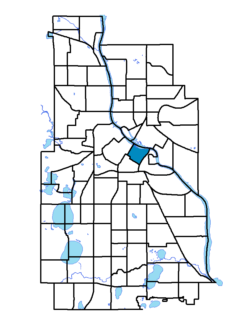
Downtown East is located in the center of the city. The neighborhood is bound in the north by the Mississippi River, in the west by Portland Avenue South, in the east by Interstate 35W and in the south by Fifth Street South. It contains mainly recreational land including the Metrodome plus commercial, industrial and vacant land. Only a very small portion of this neighborhood is dedicated to residential housing, but housing is being built at record levels. Downtown East houses the Mill City Museum, with the new Guthrie Theater opening in the summer of 2006. Along the waterfront, the city has built a park themed on the history of Minneapolis incorporating mill ruins and featuring the Mill City Museum. The park extends beyond the neighborhood. Many of the old mills and factories have been converted into residential or commercial uses.
To learn more about the neighborhood association visit: www.thedmna.org
Indicator Details
|
Indicators |
Primary Domain | Indicator Value | Rank | Tier |
|---|---|---|---|---|
| Access to Mainstream Financial Services | Economic Health | 0.0% | 1 | Top |
| Access to Parks and Open Space | Natural Areas | 4.9% | 46 | Middle |
| Adult Educational Attainment | Educational Opportunities | 84.5% | 59 | Bottom |
| Age of Housing | Housing | 47.5% | 5 | Top |
| Blood Lead Levels in Children | Housing | 4.9% | 51 | Middle |
| Business Retention | Economic Health | -15.2% | 87 | Bottom |
| Chronic School Absence | Health Systems and Public Safety | -% | - | Data N/A |
| Commute Mode Share | Transportation | 38.4% | 19 | Top |
| Employment Rate | Employment Opportunities | 61.7% | 66 | Bottom |
| Excessive Housing Cost Burden | Housing | 23.2% | 22 | Top |
| Food Desert | Neighborhood Characteristics | -% | - | Data N/A |
| High School Graduation Rate | Educational Opportunities | -% | - | Data N/A |
| Household Transportation Costs | Transportation | 15.4% | 23 | Top |
| Local Business Vitality | Economic Health | 47.5% | 62 | Bottom |
| Long-Term Unemployment | Employment Opportunities | 11.1% | 82 | Bottom |
| Low Birth Weight | Health Systems and Public Safety | 11.4% | 67 | Bottom |
| Motor Vehicle Collisions | Health Systems and Public Safety | 23.2 | 71 | Bottom |
| Offsite Alcohol Outlets | Neighborhood Characteristics | 9 | 72 | Bottom |
| Pedestrian Connectivity | Transportation | 140.6 | 35 | Middle |
| Preschool Enrollment | Educational Opportunities | -% | - | Data N/A |
| Preventable Hospitalizations | Health Systems and Public Safety | 0 | 1 | Top |
| Proximity to Brownfield Sites | Environmental Hazards | 36.1% | 85 | Bottom |
| Proximity to Superfund Sites | Environmental Hazards | 72.2% | 71 | Bottom |
| Public Assisted Households | Employment Opportunities | 12.9% | 34 | Middle |
| Reading Proficiency | Educational Opportunities | -% | - | Data N/A |
| Residential Mobility | Social Cohesion | 59.5% | 80 | Bottom |
| Residential Proximity to Traffic | Environmental Hazards | 19.4% | 56 | Middle |
| School Proximity to Traffic | Environmental Hazards | -% | - | Data N/A |
| School Readiness Scores | Educational Opportunities | -% | - | Data N/A |
| Toxic Releases from Facilities | Environmental Hazards | 0.0% | 1 | Top |
| Transit Accessibility | Transportation | 1395 | 3 | Top |
| Travel Time to Work | Employment Opportunities | 20 minutes | 12 | Top |
| Tree Cover | Natural Areas | 27.9% | 50 | Middle |
| Vacancy Rates | Housing | 10.4% | 60 | Bottom |
| Violent Crime | Health Systems and Public Safety | 106.1 | 77 | Bottom |
| Voter Participation | Social Cohesion | 37.2% | 17 | Top |
| Walkability | Neighborhood Characteristics | 87 | 7 | Top |