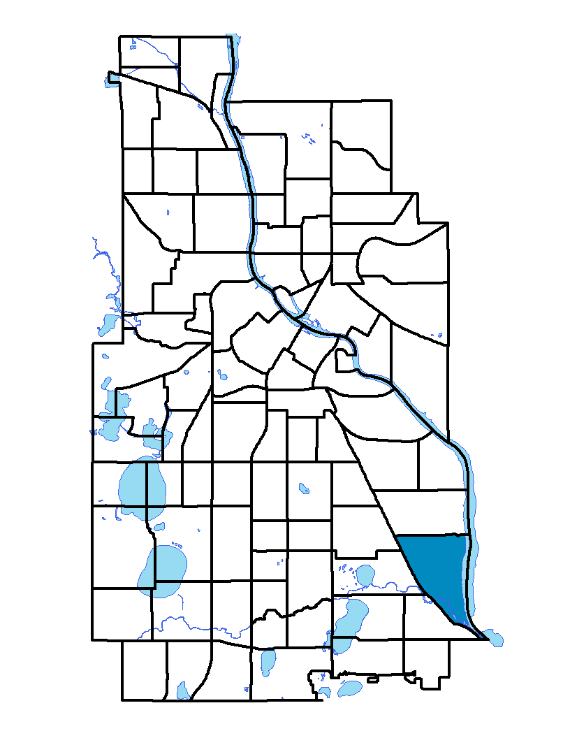
The Hiawatha neighborhood is located along the southeastern border of Minneapolis and is part of the Longfellow community. The neighborhood extends from 40 th Street on the north to 54 th Street East on the south, and from the Mississippi River on the east to Hiawatha Avenue on the west and south. The light-rail transit line runs along Hiawatha Avenue, connecting downtown Minneapolis to the Minneapolis-St. Paul International Airport and the Mall of America in Bloomington. Minnehaha Avenue runs parallel to Hiawatha Avenue and clusters mixed and commercial uses, unlike the rest of the neighborhood with its mainly single-family houses. One-third of the neighborhood's area is open land: parks, including Minnehaha Park, and the Mississippi River's Lock and Dam Number 1. The neighborhood is named for its elementary school, Hiawatha. Henry Wadsworth Longfellow, the American poet born in 1807, made the names Hiawatha and Minnehaha famous in his poem, The Song of Hiawatha.
Hiawatha, Longfellow, Cooper and Howe neighborhoods share a neighborhood association; to learn more visit: http://www.longfellow.org
Indicator Details
|
Indicators |
Primary Domain | Indicator Value | Rank | Tier |
|---|---|---|---|---|
| Access to Mainstream Financial Services | Economic Health | 16.8% | 26 | Top |
| Access to Parks and Open Space | Natural Areas | 21.3% | 8 | Top |
| Adult Educational Attainment | Educational Opportunities | 94.2% | 31 | Middle |
| Age of Housing | Housing | 87.9% | 47 | Middle |
| Blood Lead Levels in Children | Housing | 3.5% | 34 | Middle |
| Business Retention | Economic Health | 5.5% | 15 | Top |
| Chronic School Absence | Health Systems and Public Safety | 35.2% | 13 | Top |
| Commute Mode Share | Transportation | 28.7% | 45 | Middle |
| Employment Rate | Employment Opportunities | 67.8% | 47 | Middle |
| Excessive Housing Cost Burden | Housing | 21.5% | 18 | Top |
| Food Desert | Neighborhood Characteristics | 50.0% | 11 | Top |
| High School Graduation Rate | Educational Opportunities | -% | - | Data N/A |
| Household Transportation Costs | Transportation | 18.2% | 56 | Middle |
| Local Business Vitality | Economic Health | 54.1% | 48 | Middle |
| Long-Term Unemployment | Employment Opportunities | 7.9% | 66 | Bottom |
| Low Birth Weight | Health Systems and Public Safety | 6.8% | 39 | Middle |
| Motor Vehicle Collisions | Health Systems and Public Safety | 2 | 18 | Top |
| Offsite Alcohol Outlets | Neighborhood Characteristics | 1 | 6 | Top |
| Pedestrian Connectivity | Transportation | 123.7 | 48 | Middle |
| Preschool Enrollment | Educational Opportunities | 35.4% | 61 | Bottom |
| Preventable Hospitalizations | Health Systems and Public Safety | 1.7 | 23 | Top |
| Proximity to Brownfield Sites | Environmental Hazards | 5.5% | 46 | Middle |
| Proximity to Superfund Sites | Environmental Hazards | 31.2% | 50 | Middle |
| Public Assisted Households | Employment Opportunities | 8.8% | 21 | Top |
| Reading Proficiency | Educational Opportunities | 49.4% | 13 | Top |
| Residential Mobility | Social Cohesion | 82.6% | 33 | Middle |
| Residential Proximity to Traffic | Environmental Hazards | 0.0% | 1 | Top |
| School Proximity to Traffic | Environmental Hazards | 0.0% | 1 | Top |
| School Readiness Scores | Educational Opportunities | -% | - | Data N/A |
| Toxic Releases from Facilities | Environmental Hazards | 0.0% | 1 | Top |
| Transit Accessibility | Transportation | 236.6 | 61 | Bottom |
| Travel Time to Work | Employment Opportunities | 21.9 minutes | 37 | Middle |
| Tree Cover | Natural Areas | 39.3% | 3 | Top |
| Vacancy Rates | Housing | 5.9% | 31 | Middle |
| Violent Crime | Health Systems and Public Safety | 47.4 | 45 | Middle |
| Voter Participation | Social Cohesion | 36.4% | 19 | Top |
| Walkability | Neighborhood Characteristics | 47 | 69 | Bottom |