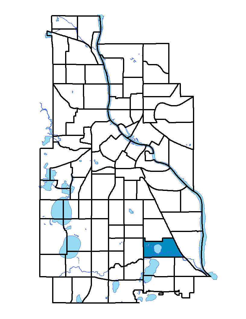
The Ericsson neighborhood in southeast Minneapolis is bound on the north by 42 nd and 43 rd streets, on the east by Hiawatha Avenue, on the south by Minnehaha Parkway and on the west by Cedar Avenue. This is a residential neighborhood with mainly single-family housing units. The western half of the neighborhood is dominated by recreational land. Lake Hiawatha Park and Lake Hiawatha Golf Course are two of the most significant recreational sites. Minnehaha Creek also runs west to east through the southern portion of the neighborhood. It takes its name from John Ericsson, a Swedish engineer and inventor who designed and built the U.S.S. Monitor for the United States Navy during the Civil War.
Ericsson and Standish neighborhoods share a neighborhood association; to learn more visit: www.standish-ericsson.org
Indicator Details
|
Indicators |
Primary Domain | Indicator Value | Rank | Tier |
|---|---|---|---|---|
| Access to Mainstream Financial Services | Economic Health | 17.3% | 29 | Top |
| Access to Parks and Open Space | Natural Areas | 41.7% | 1 | Top |
| Adult Educational Attainment | Educational Opportunities | 96.0% | 22 | Top |
| Age of Housing | Housing | 96.1% | 80 | Bottom |
| Blood Lead Levels in Children | Housing | 0.4% | 3 | Top |
| Business Retention | Economic Health | 5.8% | 13 | Top |
| Chronic School Absence | Health Systems and Public Safety | 31.9% | 9 | Top |
| Commute Mode Share | Transportation | 23.3% | 54 | Middle |
| Employment Rate | Employment Opportunities | 69.8% | 36 | Middle |
| Excessive Housing Cost Burden | Housing | 23.2% | 22 | Top |
| Food Desert | Neighborhood Characteristics | -% | - | Data N/A |
| High School Graduation Rate | Educational Opportunities | -% | - | Data N/A |
| Household Transportation Costs | Transportation | 19.1% | 76 | Bottom |
| Local Business Vitality | Economic Health | 54.3% | 47 | Middle |
| Long-Term Unemployment | Employment Opportunities | 3.0% | 8 | Top |
| Low Birth Weight | Health Systems and Public Safety | 5.0% | 22 | Top |
| Motor Vehicle Collisions | Health Systems and Public Safety | 5.9 | 42 | Middle |
| Offsite Alcohol Outlets | Neighborhood Characteristics | 1 | 6 | Top |
| Pedestrian Connectivity | Transportation | 88.4 | 74 | Bottom |
| Preschool Enrollment | Educational Opportunities | 53.7% | 38 | Middle |
| Preventable Hospitalizations | Health Systems and Public Safety | 1.3 | 8 | Top |
| Proximity to Brownfield Sites | Environmental Hazards | 15.4% | 66 | Bottom |
| Proximity to Superfund Sites | Environmental Hazards | 36.9% | 54 | Middle |
| Public Assisted Households | Employment Opportunities | 14.0% | 37 | Middle |
| Reading Proficiency | Educational Opportunities | 58.6% | 9 | Top |
| Residential Mobility | Social Cohesion | 91.3% | 2 | Top |
| Residential Proximity to Traffic | Environmental Hazards | 0.0% | 1 | Top |
| School Proximity to Traffic | Environmental Hazards | 0.0% | 1 | Top |
| School Readiness Scores | Educational Opportunities | -% | - | Data N/A |
| Toxic Releases from Facilities | Environmental Hazards | 0.0% | 1 | Top |
| Transit Accessibility | Transportation | 347.2 | 38 | Middle |
| Travel Time to Work | Employment Opportunities | 21.9 minutes | 37 | Middle |
| Tree Cover | Natural Areas | 30.1% | 27 | Top |
| Vacancy Rates | Housing | 4.4% | 14 | Top |
| Violent Crime | Health Systems and Public Safety | 36 | 23 | Top |
| Voter Participation | Social Cohesion | 37.8% | 15 | Top |
| Walkability | Neighborhood Characteristics | 57 | 57 | Middle |