"Compare Neighbordhoods" feature is not available in the archived version.
Phillips West
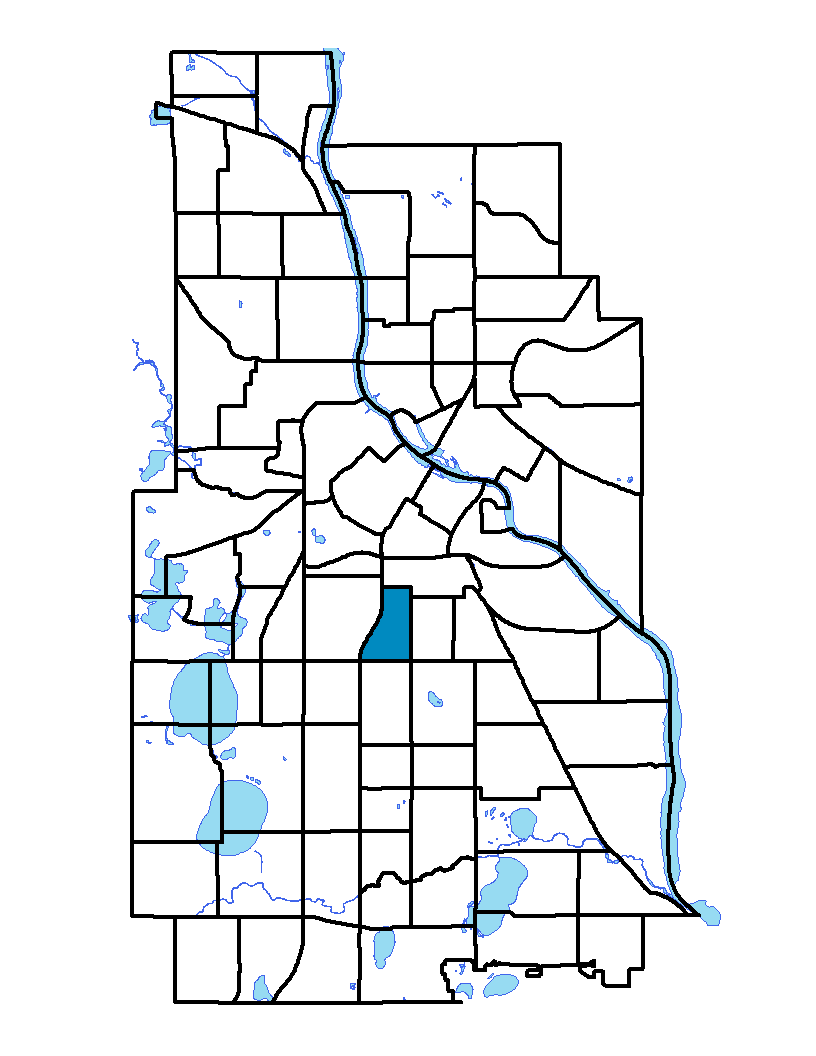
On April 29, 2005, the City Council approved establishing Phillips West. Phillips West occupies the western part of the former Phillips neighborhood, delineated by Chicago Avenue and 22nd Street. Phillips is a diverse area in many ways: its population includes people of many nationalities; it has a mix of residential, commercial and industrial uses; and it is home to several large employers. The neighborhood and its junior high school take their names from Wendell Phillips, a 19 th century abolitionist.
To learn more about the neighborhood association visit: www.phillipswest.info
Indicator Details
|
Indicators |
Primary Domain | Indicator Value | Rank | Tier |
|---|---|---|---|---|
| Access to Mainstream Financial Services | Economic Health | -% | - | Data N/A |
| Access to Parks and Open Space | Natural Areas | 0.0% | 84 | Bottom |
| Adult Educational Attainment | Educational Opportunities | 65.7% | 82 | Bottom |
| Age of Housing | Housing | 77.7% | 26 | Top |
| Blood Lead Levels in Children | Housing | 4.9% | 51 | Middle |
| Business Retention | Economic Health | 96.4% | 1 | Top |
| Chronic School Absence | Health Systems and Public Safety | -% | - | Data N/A |
| Commute Mode Share | Transportation | 51.5% | 6 | Top |
| Employment Rate | Employment Opportunities | 42.4% | 84 | Bottom |
| Excessive Housing Cost Burden | Housing | 42.6% | 69 | Bottom |
| Food Desert | Neighborhood Characteristics | 100.0% | 31 | Middle |
| High School Graduation Rate | Educational Opportunities | -% | - | Data N/A |
| Household Transportation Costs | Transportation | 13.9% | 12 | Top |
| Local Business Vitality | Economic Health | 50.2% | 58 | Middle |
| Long-Term Unemployment | Employment Opportunities | 8.7% | 71 | Bottom |
| Low Birth Weight | Health Systems and Public Safety | 6.0% | 30 | Middle |
| Motor Vehicle Collisions | Health Systems and Public Safety | 31.1 | 74 | Bottom |
| Offsite Alcohol Outlets | Neighborhood Characteristics | 1 | 6 | Top |
| Pedestrian Connectivity | Transportation | 104.9 | 65 | Bottom |
| Preschool Enrollment | Educational Opportunities | 24.2% | 73 | Bottom |
| Preventable Hospitalizations | Health Systems and Public Safety | - | - | Data N/A |
| Proximity to Brownfield Sites | Environmental Hazards | 18.9% | 69 | Bottom |
| Proximity to Superfund Sites | Environmental Hazards | 90.6% | 83 | Bottom |
| Public Assisted Households | Employment Opportunities | 83.4% | 85 | Bottom |
| Reading Proficiency | Educational Opportunities | -% | - | Data N/A |
| Residential Mobility | Social Cohesion | 71.5% | 64 | Bottom |
| Residential Proximity to Traffic | Environmental Hazards | 49.1% | 82 | Bottom |
| School Proximity to Traffic | Environmental Hazards | 0.0% | 1 | Top |
| School Readiness Scores | Educational Opportunities | -% | - | Data N/A |
| Toxic Releases from Facilities | Environmental Hazards | 56.6% | 66 | Bottom |
| Transit Accessibility | Transportation | 463 | 21 | Top |
| Travel Time to Work | Employment Opportunities | 26.1 minutes | 85 | Bottom |
| Tree Cover | Natural Areas | 28.0% | 48 | Middle |
| Vacancy Rates | Housing | 5.9% | 31 | Middle |
| Violent Crime | Health Systems and Public Safety | 48 | 47 | Middle |
| Voter Participation | Social Cohesion | 21.3% | 55 | Middle |
| Walkability | Neighborhood Characteristics | 81 | 14 | Top |