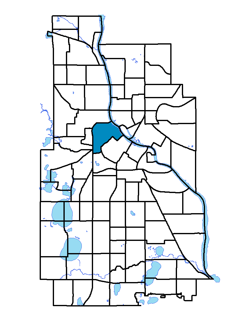
North Loop neighborhood makes the northern part of the loop that encircles Minneapolis' downtown. The neighborhood extends from Plymouth Avenue on the north to Interstate 394, which makes the southern boundary. The western boundary is Interstate 94. The boundary continues along 12th Street North to Third Avenue North, then to Washington Avenue, and Hennepin Avenue. The Mississippi River is the northeastern boundary. The neighborhood grew very fast in the last few years, as industrial buildings and old warehouses were converted for residential and commercial uses. This transformation was followed by new residential construction. The North Loop, which used to be industrial land, is now a vibrant residential neighborhood, very conveniently located near the downtown core.
To learn more about the neighborhood association visit: www.northloop.org
Indicator Details
| Indicators |
Primary Domain |
Indicator Value | Rank | Tier |
|---|---|---|---|---|
| Business Retention | Economic Health | -3.6% | 80 | Bottom |
| Access to Mainstream Financial Services | Economic Health | -% | - | Data N/A |
| Local Business Vitality | Economic Health | 49.5% | 60 | Bottom |
| Reading Proficiency | Educational Opportunities | -% | - | Data N/A |
| Adult Educational Attainment | Educational Opportunities | 96.4% | 21 | Top |
| High School Graduation Rate | Educational Opportunities | -% | - | Data N/A |
| School Readiness Scores | Educational Opportunities | -% | - | Data N/A |
| Preschool Enrollment | Educational Opportunities | 52.4% | 40 | Middle |
| Residential Proximity to Traffic | Environmental Hazards | 33.0% | 75 | Bottom |
| Proximity to Brownfield Sites | Environmental Hazards | 34.0% | 82 | Bottom |
| School Proximity to Traffic | Environmental Hazards | 0.0% | 1 | Top |
| Proximity to Superfund Sites | Environmental Hazards | 22.3% | 44 | Middle |
| Toxic Releases from Facilities | Environmental Hazards | 95.7% | 81 | Bottom |
| Public Assisted Households | Employment Opportunities | 2.8% | 6 | Top |
| Employment Rate | Employment Opportunities | 82.2% | 1 | Top |
| Long-Term Unemployment | Employment Opportunities | 5.5% | 45 | Middle |
| Travel Time to Work | Employment Opportunities | 20.9 minutes | 18 | Top |
| Vacancy Rates | Housing | 13.5% | 75 | Bottom |
| Age of Housing | Housing | 35.1% | 3 | Top |
| Blood Lead Levels in Children | Housing | 5.8% | 58 | Middle |
| Excessive Housing Cost Burden | Housing | 19.5% | 10 | Top |
| Violent Crime | Health Systems and Public Safety | 95.3 | 75 | Bottom |
| Chronic School Absence | Health Systems and Public Safety | -% | - | Data N/A |
| Low Birth Weight | Health Systems and Public Safety | 4.6% | 19 | Top |
| Motor Vehicle Collisions | Health Systems and Public Safety | 45.1 | 79 | Bottom |
| Preventable Hospitalizations | Health Systems and Public Safety | 12.4 | 78 | Bottom |
| Tree Cover | Natural Areas | 34.6% | 14 | Top |
| Access to Parks and Open Space | Natural Areas | 3.3% | 57 | Middle |
| Walkability | Neighborhood Characteristics | 83 | 11 | Top |
| Offsite Alcohol Outlets | Neighborhood Characteristics | 1 | 6 | Top |
| Food Desert | Neighborhood Characteristics | -% | - | Data N/A |
| Residential Mobility | Social Cohesion | 63.1% | 77 | Bottom |
| Voter Participation | Social Cohesion | 26.9% | 41 | Middle |
| Transit Accessibility | Transportation | 1819 | 2 | Top |
| Commute Mode Share | Transportation | 35.0% | 28 | Top |
| Household Transportation Costs | Transportation | 14.5% | 16 | Top |
| Pedestrian Connectivity | Transportation | 214.4 | 9 | Top |